What is recorded here
In pasture on low rise of ground with good views in all directions. Tristernagh abbey (WM011-053---) located 570m to ENE. Sub-circular shaped area (diam. c. 50m E-W; 48m N-S) enclosed by an earth and stone bank which is revetted with a later post-medieval stone wall with entrance gate and stile at SE. Church ruin (WM011-051---) stands in the centre, with base of cross (WM011-051002-) in SW quadrant. The graveyard contains memorials mainly dating from the 18th century onwards. Depicted as a small circular-shaped graveyard known as ‘Templecross Burying Ground’ on 1838 ed. OS 6-inch map. The circular-shaped graveyard may indicate presence of Early Christian ecclesiastical enclosure (WM011-051005-). This curving boundary is clearly visible on aerial photograph taken by Cambridge University in 1969 (CUCAP AYR009).
Compiled by: Caimin O’Brien
Date of upload: 13 July 2015
Templecross Burying Ground is a sub-circular enclosure, likely a ring fort or fulacht fiadh site, dating to the Early Medieval period. Its proximity to Tristernagh Abbey suggests a possible monastic or ritual association.
The monument record does not grant public access. Check the route and ask the landowner before entering private land.
- What survives
- Recorded monument
Places near here
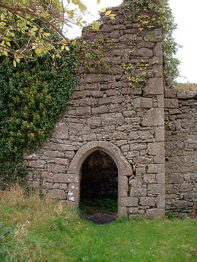 Templecross Grave Yardgraveyard/cemetery · 9 yd
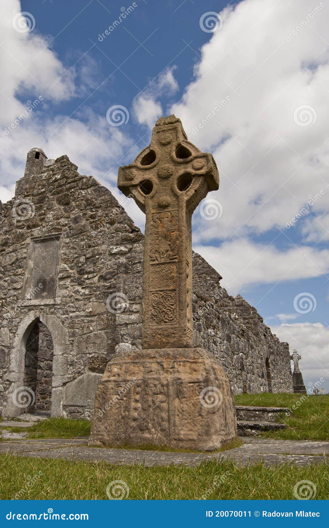 Site of CrossCross · 23 yd
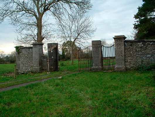 Tristernagh Housedemesne walls/gates/railings · 42 yd
 RaheenFairy fort / earthen ringfort · 1076 yd
 Baronstown ForestWood · 1756 yd
 Horse-chestnutHorse-chestnut · 1.1 mi
 CastleCastle, motte and bailey · 1.3 mi
 Site of Castle, Castle FieldCastle, unclassified · 1.5 mi
 Craft WorkshopHeritage attraction · 9.3 mi
 Guest ServicesVisitor information · 9.4 mi
 Newcastle WoodsForest · 9.9 mi
 Rock of CurryCliff · 11 mi