What is recorded here
In pasture on low rise of ground with good views in all directions. Tristernagh abbey (WM011-053---) located 570m to ENE. Sub-circular shaped area (diam. c. 50m E-W; 48m N-S) enclosed by an earth and stone bank which is revetted with a later post-medieval stone wall with entrance gate and stile at SE. Church ruin (WM011-051---) stands in the centre, with base of cross (WM011-051002-) in SW quadrant. Depicted as a small circular-shaped graveyard known as ‘Templecross Burying Ground’ on 1837 ed. OS 6-inch map. The circular-shaped graveyard may indicate presence of Early Christian ecclesiastical enclosure (Swan 1988, 13). This curving boundary is clearly visible on aerial photograph taken by Cambridge University in 1969 (CUCAP AYR009).
Compiled by: Caimin O’Brien
Date of upload: 13 July 2015
The monument record does not grant public access. Check the route and ask the landowner before entering private land.
- What survives
- Recorded monument
Places near here
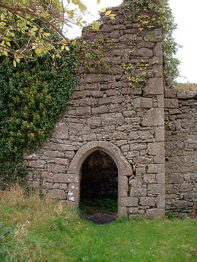 Templecross Grave Yardgraveyard/cemetery · 12 yd
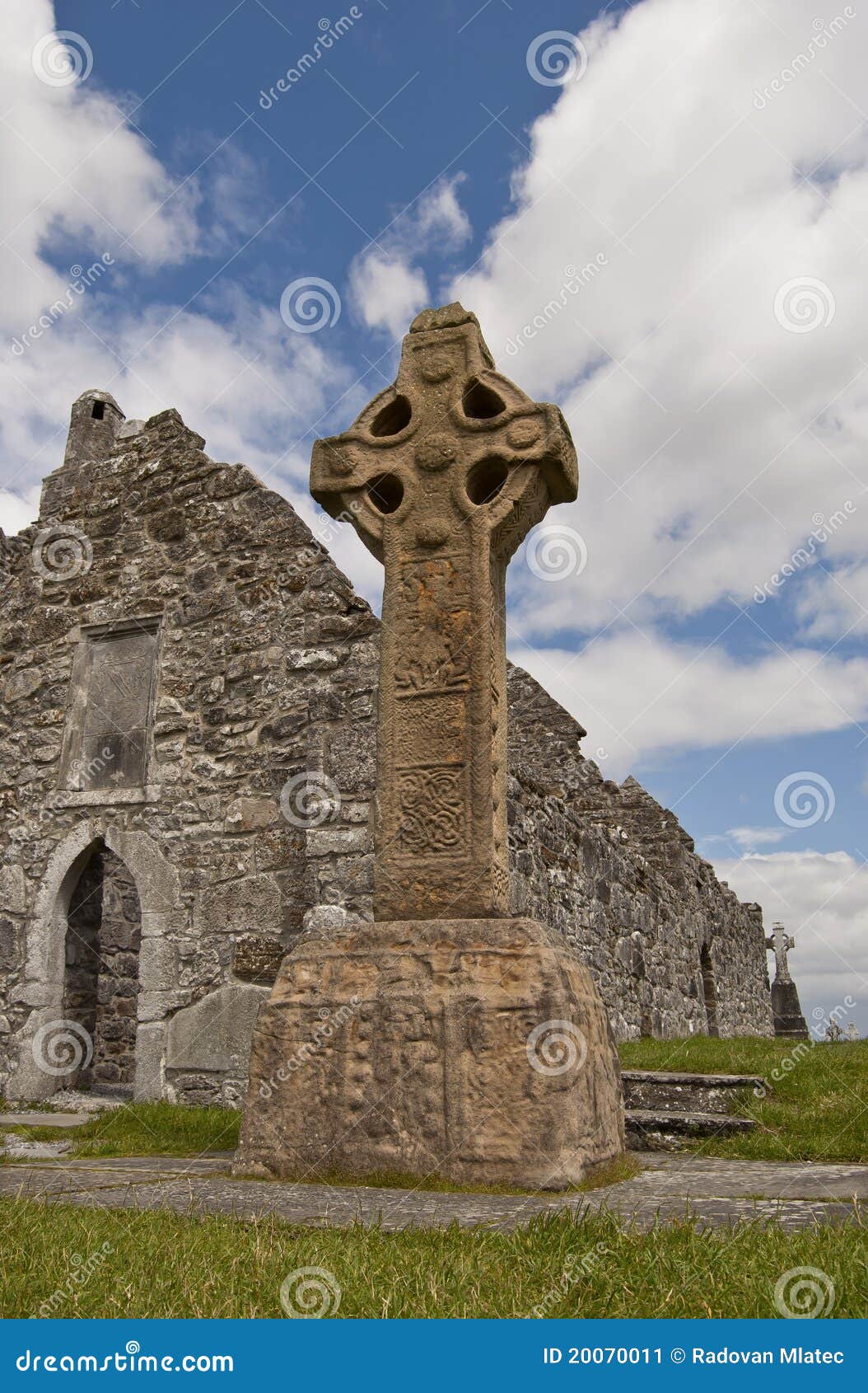 Site of CrossCross · 20 yd
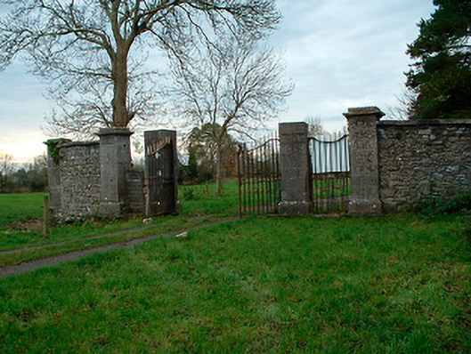 Tristernagh Housedemesne walls/gates/railings · 30 yd
 RaheenFairy fort / earthen ringfort · 1077 yd
 Baronstown ForestWood · 1.0 mi
 Horse-chestnutHorse-chestnut · 1.2 mi
 CastleCastle, motte and bailey · 1.3 mi
 Site of Castle, Castle FieldCastle, unclassified · 1.5 mi
 Craft WorkshopHeritage attraction · 9.3 mi
 Guest ServicesVisitor information · 9.4 mi
 Newcastle WoodsForest · 9.9 mi
 Rock of CurryCliff · 11 mi