What is recorded here
Not visible at ground level. Marked on all three editions of the OS 6-inch maps as 'Cromwell's Lines'. Davies (1942) describes the site as been dug away in gravel pits with slight traces of old trenches and portion of V-shaped ditch (Wth 8ft) visible.
The above description is derived from the published 'Archaeological Inventory of County Offaly' (Dublin: Stationery Office, 1997). In certain instances the entries have been revised and updated in the light of recent research.
Date of upload: 23 May 2011
The monument record does not grant public access. Check the route and ask the landowner before entering private land.
- What survives
- Recorded monument
Places near here
 Ardnagross WellSpring · 860 yd
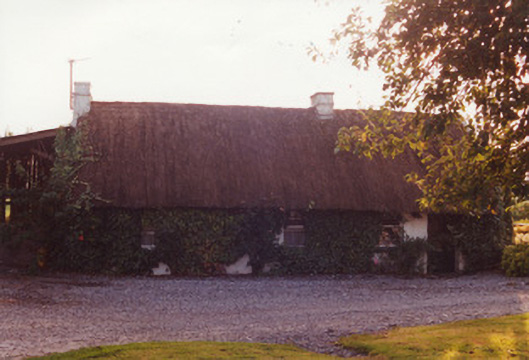 farm housefarm house · 1252 yd
 Enclosure in Lynally GlebeEnclosure · 1374 yd
 Wild CherryWild Cherry · 1435 yd
 Enclosure in CloghanbaneEnclosure · 1448 yd
 Big WoodWood · 1710 yd
 IndicatedCastle, unclassified · 1.0 mi
 Lynally Monastic SiteRuins · 1.0 mi
 Sugar HillMountain / peak · 1.3 mi
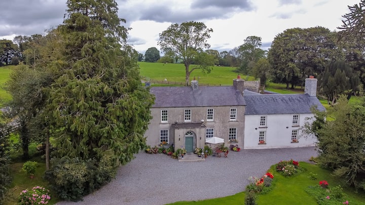 Bawn in Roscore DemesneBawn · 1.5 mi
 Christ's WellSpring · 1.9 mi
 Graveyard in PallasGraveyard · 2.5 mi