What is recorded here
Crockshee is a castle motte in County Louth, Ireland. It is a flat-topped mound beside the Fairways hotel, marked as a fort on an 1835 map. Trees and vegetation still cover most of it, while a road has cut into its southern base. The mound remains a visible local landmark even though its exact history is no longer certain.
Situated on slight natural rise, immediately to the E of the Fairways hotel. Marked 'fort' on the 1835 'OS 6-inch' map. A flat topped sub-circular shaped mound (basal diam. c. 50m, top c. 10m N-S x 8.5m E-W; H c. 3.5m) heavily overgrown with vegetation and large trees. Base of mound on the S is slightly truncated by road associated with hotel complex. The site of a possible castle known as 'Caisleán Uachtrach Baile Sagairt' (LH012-010----) is c. 160m to the E.
Compiled by: Claire Breen
Date of upload: 4 May 2012
The monument record does not grant public access. Check the route and ask the landowner before entering private land.
- What survives
- Recorded monument
Places near here
 CastleCastle, unclassified · 248 yd
 IndicatedCastle, unclassified · 466 yd
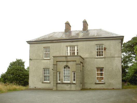 presbytery/parochial/curate's housepresbytery/parochial/curate's house · 471 yd
 Church (in Ruins)Church · 617 yd
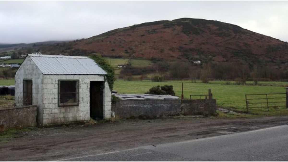 Enclosure in HaggardstownEnclosure · 873 yd
 Enclosure in MullagharlinEnclosure · 1333 yd
 Broad WoodForest · 1.2 mi
 Long WoodForest · 1.3 mi
 BallybarrackMountain / peak · 2.0 mi
 Photo GalleryHeritage attraction · 2.6 mi
 Louth County MuseumMuseum · 2.6 mi
 Bombing 1975Memorial · 2.6 mi