
What is recorded here
The following description is derived from both the published 'Archaeological Inventory of County Louth' (Dublin: Stationery Office, 1986) and the 'Archaeological Survey of County Louth' (Dublin: Stationery Office, 1991). 35m from the present shoreline. An irregularly-shaped mound (L 15m NW-SE, Wth 11.5m NE-SW, H 1.4m) aligned NW-SE, constructed of earth and stone, with some disturbance visible on surface. 'Man-made underground passage ware' of undecorated type was recovered from the surface disturbance in 1985.
From the National Monuments Service (Archaeological Survey of Ireland) record LH009-009
The monument record does not grant public access. Check the route and ask the landowner before entering private land.
- What survives
- Recorded monument
Places near here
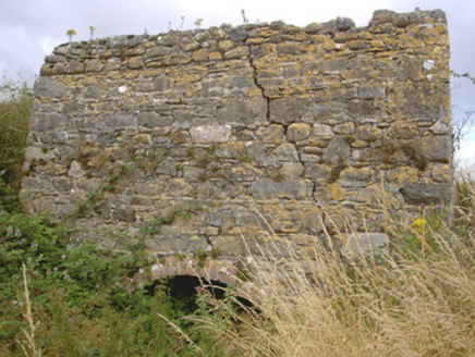 kiln1452 yd
 water pump1560 yd
 Cooley PointHeadland · 2.0 mi
 St James WellSpring · 2.1 mi
 Lady WellHoly well · 2.2 mi
 Cranfield PointHeadland · 2.3 mi
 GreenoreVisitor information · 2.4 mi
 GreenoreVisitor information · 2.5 mi
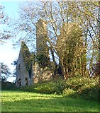 Ballug CastleCastle · 2.7 mi
 Ballug CastleCastle, tower house · 2.7 mi
 Motte in GreencastleMotte · 2.8 mi
 Grange UpperMountain / peak · 4.2 mi
Pictures: National Inventory of Architectural Heritage; Eric Jones, Geograph · CC BY-SA 2.0; Eric Jones, Geograph · Creative Commons Attribution-ShareAlike 2.0
More archaeology and monuments in County Louth · All of County Louth
What do you know about this place?