
What is recorded here
Freestanding gable-fronted Presbyterian church, built 1742, having four-bay side elevations. Pitched slate roof with stone barge copings to gables, front gable surmounted by ball finial with inscription ‘1742’ and plaque beneath inscribed ‘GLORY TO GOD’. Sections of cast-iron and replacement rainwater goods. Smooth ruled-and-lined rendered walls to front gable, roughcast rendered walls with smooth plinths to other elevations. Raised render block-and-start surround to square-headed main entrance door with oculus above. Square-headed windows to side elevations with patent reveals, cut-stone sills and twelve-over-eight sliding-sash windows with semi-circular spider's web fanlight to upper sashes and stained glass to spandrels. Pair of round-headed windows to east gable with patent reveals chamfered sills and recent stained glass, high-level oculus between. Replacement sheeted timber doors to main entrance. Church interior been remodelled with partitioned spaces at entrance. Unadorned main space with recent flat timber ceiling. Carved timber pulpit, lectern and pews, carved stone baptismal font c.1650. Set back from the road behind low recent rubble stone boundary wall with pyramidal capstones to piers. Surrounded by graveyard with cut stone grave markers and grave slabs.
A well-proportioned Presbyterian church that retains its historic form and character, with the sash windows detailing providing the decorative focus. The interior, characteristic of Presbyterian churches, is simply furnished. It stands testament to the long tradition of Presbyterianism in the county. The building is prominently sited near Croghan Bridge outside Killeshandra, close to a crossroads. The surrounding cut stone grave markers add to its context and setting.
This does not grant access. Most recorded buildings are privately owned; view them only from public ground unless the owner allows entry.
Places near here
 Enclosure in ShancroaghanEnclosure · 871 yd
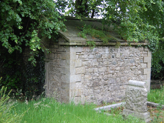 mausoleummausoleum · 1043 yd
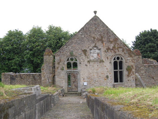 church/chapelchurch/chapel · 1045 yd
 Killeshandra Irish Countrywomen's Association 70th AnniversaryMemorial · 1324 yd
 Pedunculate OakPedunculate Oak · 1407 yd
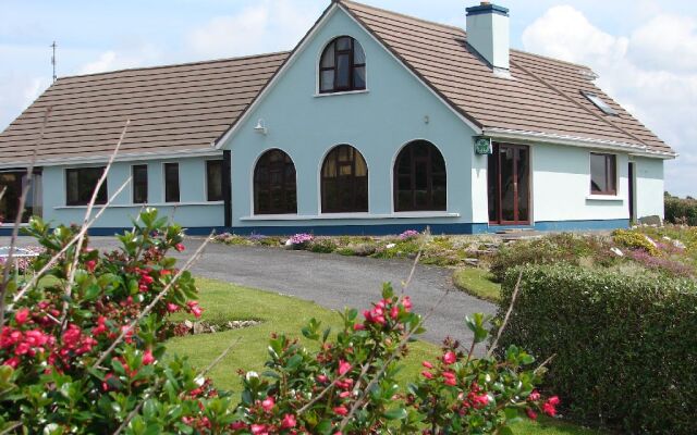 Drom Mullac HouseArchaeological place · 1480 yd
 Castlehamilton DemesneForest · 1.2 mi
 ClonkeenMountain / peak · 2.4 mi
 Creenagh GlebeMountain / peak · 2.5 mi
 Woodenhouse BayBay · 2.7 mi
 Inch IslandIslet · 2.8 mi
 Killykeen Forest ParkForest · 2.9 mi
Other information
Photo: Dylan Moore · Creative Commons Attribution-ShareAlike 2.0