What is recorded here
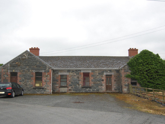
Detached seven-bay single-storey former railway station, built 1866, with advanced gabled end bays, single-bay gable-fronted outbuilding attached to south end, and recent extension to north. Now in use as offices. Pitched replacement slate roof, rebuilt red brick chimneystacks, and replacement rainwater goods. Bargestones and kneelers to front gables walls, oversailing roof to rear gables with exposed purlins, but decorative bargeboards removed. Random rock-faced rubble stone walls with red brick quoins, red brick block-and-start surrounds to door and window openings with cut stone lintels and sills. Door openings to west elevation and south door to east elevation altered to form windows with concrete-block infill. Replacement timber casement windows and replacement timber panelled doors.
This modest railway station was once the last railway station on the 10km branch of the Midland Great Western Railway that linked Killashandra with Cavan, via Crossdoney. The railway station is of considerable social and historical significance, having been built as part of the Midland Great Western Railway network that linked rural areas of the country with larger urban settlements. Despite come alterations the building it retains its architectural form, typical for smaller railway stations in Ireland of that period. The contrasting squared rubble stone and red brick dressings are a characteristic feature of Victorian public architecture, this being a particularly good example of the consciously random style of stonework, requiring great skill in stone masonry to achieve tight joints between irregular fitted blocks. The former railway station forms part of a group with the surviving railway related structures to the site including goods shed to the south and abutments of the nearby railway bridge, which together lend strong definition to the historic character of its setting.
This does not grant access. Most recorded buildings are privately owned; view them only from public ground unless the owner allows entry.
Places near here
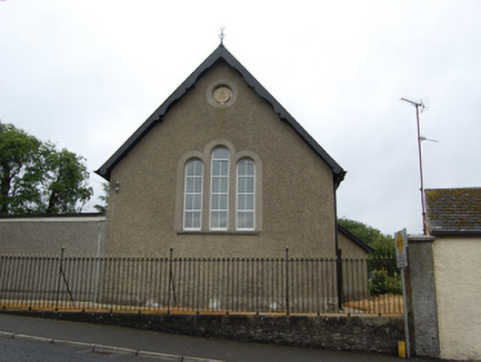 Killashandra Masonic Hallchurch/chapel · 128 yd
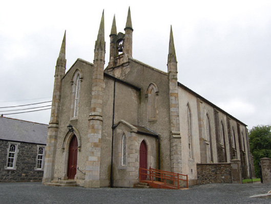 Killashandra Churchchurch/chapel · 266 yd
 Killeshandra Irish Countrywomen's Association 70th AnniversaryMemorial · 285 yd
 Enclosure in ShancroaghanEnclosure · 1111 yd
 Pedunculate OakPedunculate Oak · 1143 yd
 Castlehamilton DemesneForest · 1151 yd
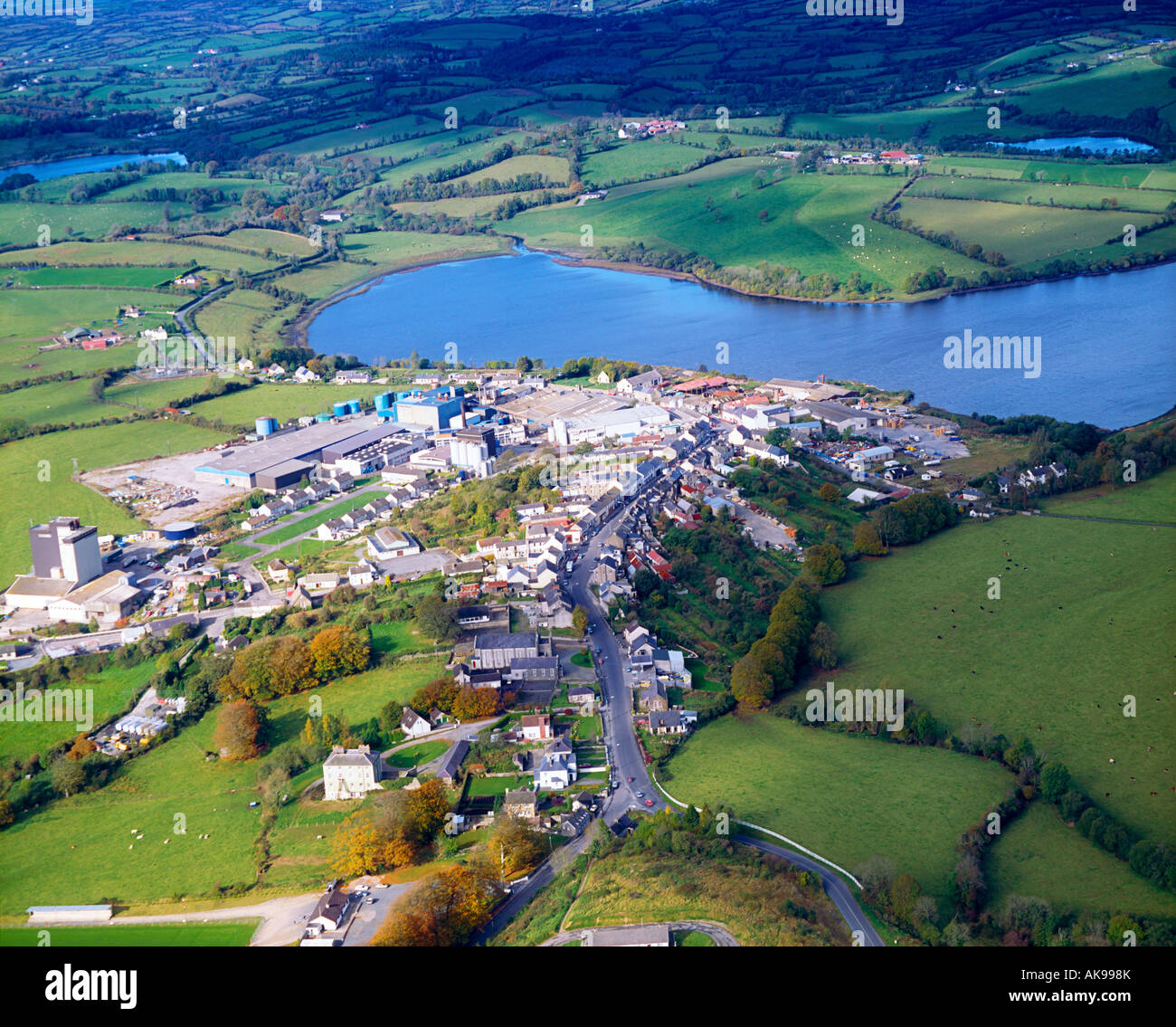 IndicatedFairy fort / earthen ringfort · 1.1 mi
 Creenagh GlebeMountain / peak · 1.9 mi
 Inch IslandIslet · 2.1 mi
 Woodenhouse BayBay · 2.1 mi
 Derries UpperMountain / peak · 2.2 mi
 Killykeen Forest ParkForest · 2.2 mi
Other information
Photo: National Inventory of Architectural Heritage · Website use allowed for educational or private purposes with source credit