What is recorded here
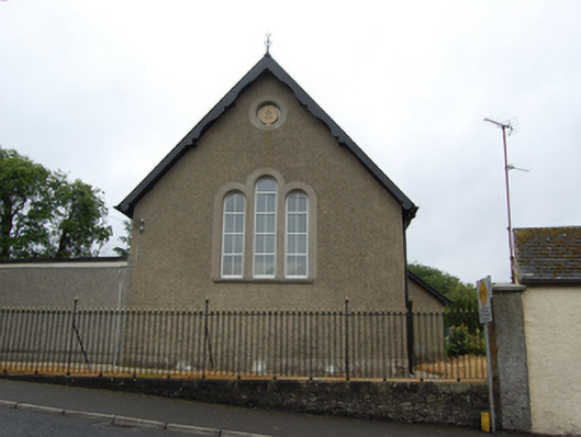
Freestanding gable-fronted former Methodist church, built 1886, with two-bay nave, single-bay vestry to south-west and recent flat-roofed extension to north-east. Sold, 1967, to accommodate use as hall. Pitched slate roof with clay ridge tiles, roof oversailing at eaves and gables and supported on carved rafter ends, decorative bargeboard to gable front. Roughcast rendered walls over raised smooth rendered plinth, smooth rendered surrounds to round-headed windows, triple stepped round-headed lancets to front gable having continuous cut stone sill with oculus to gable apex, paired lights to sides of nave. Square-headed door and window opening to vestry. Replacement uPVC windows and replacement timber panelled door. Setback from the road with simple cast-iron railings and gates, rubble stone plinth wall with cut stone coping where street falls away to the southwest, roughcast rendered walls, and square-plan pier to north-east end.
A later nineteenth-century Methodist church of plain design, its simplicity characteristic of the restrained style of Methodist churches of this period. The church replaced an earlier preaching house (1810) and is testament to the long-established Methodist community in the Killashandra area. Its present use as a hall further contributes to its role in the social heritage of the town. The building is sited in a prominent roadside location and it is a strong defining feature of the street.
This does not grant access. Most recorded buildings are privately owned; view them only from public ground unless the owner allows entry.
Places near here
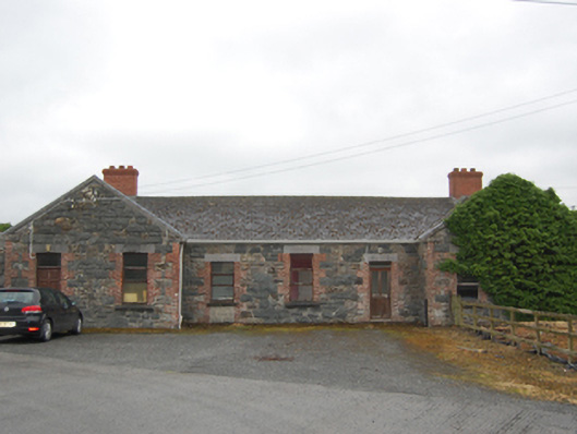 Killashandra Railway Stationrailway station · 128 yd
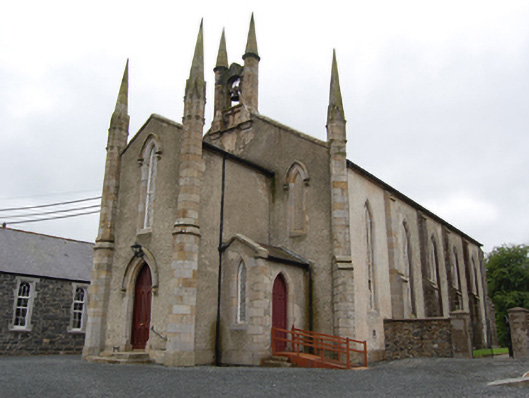 Killashandra Churchchurch/chapel · 140 yd
 Killeshandra Irish Countrywomen's Association 70th AnniversaryMemorial · 290 yd
 Pedunculate OakPedunculate Oak · 1031 yd
 Castlehamilton DemesneForest · 1058 yd
 Enclosure in ShancroaghanEnclosure · 1161 yd
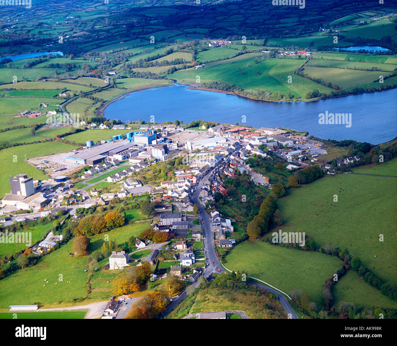 IndicatedFairy fort / earthen ringfort · 1.0 mi
 Creenagh GlebeMountain / peak · 1.8 mi
 Inch IslandIslet · 2.0 mi
 Woodenhouse BayBay · 2.0 mi
 Derries UpperMountain / peak · 2.1 mi
 Killykeen Forest ParkForest · 2.1 mi
Other information
Photo: National Inventory of Architectural Heritage · Website use allowed for educational or private purposes with source credit