What is recorded here
Fire stripped the flesh from the bones before the pit closed over them. Three decades before written history, someone carried that person through Moyle Big and gave them back to the earth with a single blue bead. The road builders cut through the soil centuries later, pulling the charcoal and bone into light once more. What was hidden became a measurement, what was a life became a date on a page.
Excavated in advance of construction of the N9/N10 Kilcullen-Waterford Road (Excavation Licence number E2598 ('Monitoring area 7')). A pit (L 0.33m; Wth 0.31m; D 0.13m) containing a large quantity of charcoal and cremated bone and a single faience bead was uncovered. A calibrated radiocarbon date of 1767-1561 BC was obtained from the cremated bone. (Hughs 2009, 47; Doyle 2009)
References:
Hughs J. (2009) 'Moyle Big Medieval pit and possible metalworking activity' in I. Bennett (ed.), Excavations 2006: summary accounts of archaeological excavations in Ireland, 47 (195). Bray. Wordwell
Doyle T. 2009 N9/N10 Kilcullen to Waterford Scheme: Kilcullen to Powerstown. Archaeological Services Contract No. 4 - Resolution, Prumpelstown to Powerstown. Final Report on archaeological investigations at site E2598, in the townland of Moyle Big, Co. Carlow. Unpublished report, Headland Archaeology (Ireland) Ltd., Cork
Compiled by: Claire Breen
Date of upload: 10 November 2010
The monument record does not grant public access. Check the route and ask the landowner before entering private land.
- What survives
- Recorded monument
Places near here
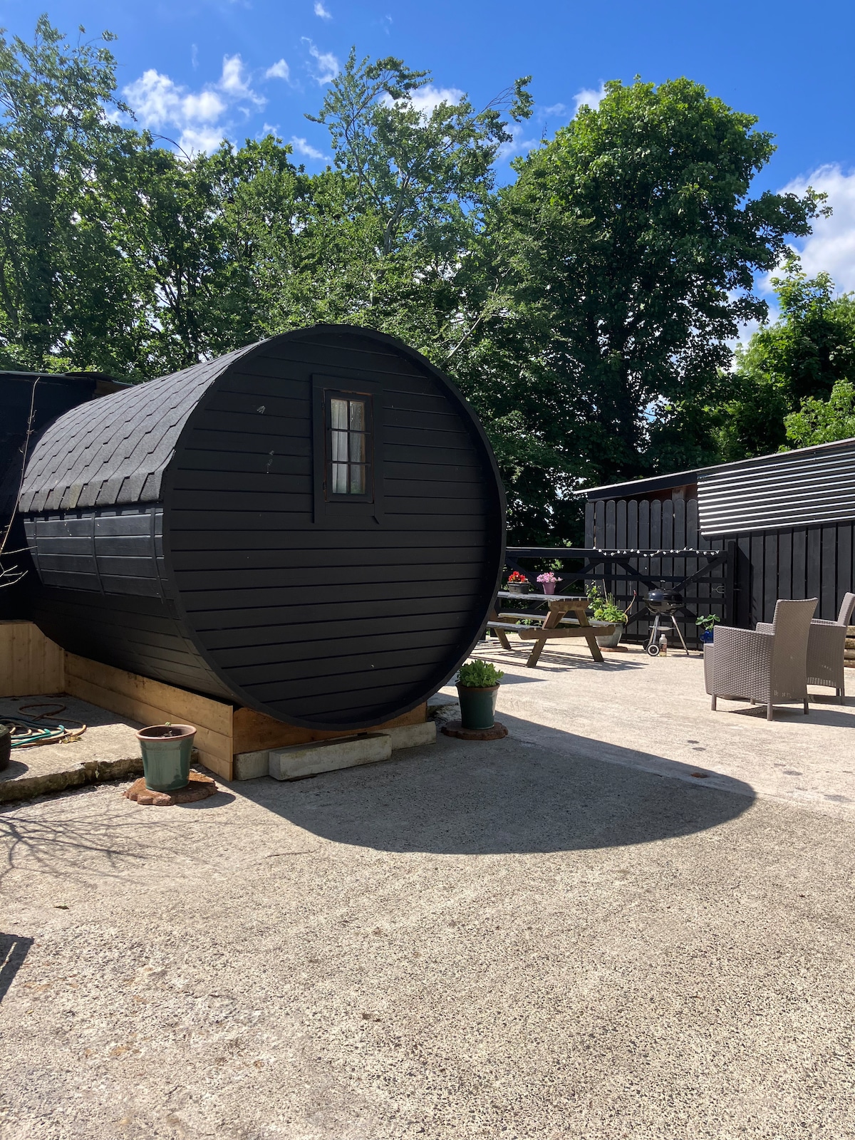 Enclosure in Moyle BigEnclosure · 72 yd
 EnclosureEnclosure, large enclosure · 452 yd
 Site of CastleCastle, unclassified · 601 yd
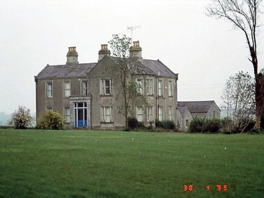 Littlemoyle Housefarm house · 833 yd
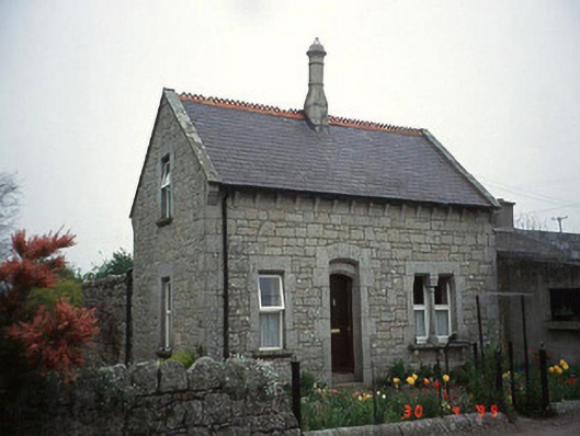 Moylegate lodge · 1124 yd
 Graigue Castle in ruinsCastle, unclassified · 1.1 mi
 Pedunculate OakPedunculate Oak · 1.5 mi
 Brownshill Portal TombVisitor information · 2.3 mi
 Kilmurry Church (in ruins), GraveyardChurch · 2.5 mi
 Church (in ruins), GraveyardChurch · 3.3 mi
 White willowWhite willow · 3.4 mi
 Carlow County MuseumMuseum · 3.6 mi