
What is recorded here
This site was excavated prior to development of a housing estate (Licence no. 02E1031). A sub-oval cremation pit (1m N-S x 0.75m E-W) contained a basal layer of charcoal and inclusions of burnt bone (McCabe 2003, 6).
Compiled by: Christine Baker
Date of upload: 5 February 2015
The monument record does not grant public access. Check the route and ask the landowner before entering private land.
- What survives
- Recorded monument
Places near here
 Chapel FarmMemorial · 58 yd
 Orlynn ParkMemorial · 69 yd
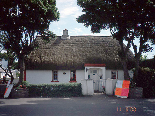 Clay Cottagehouse · 113 yd
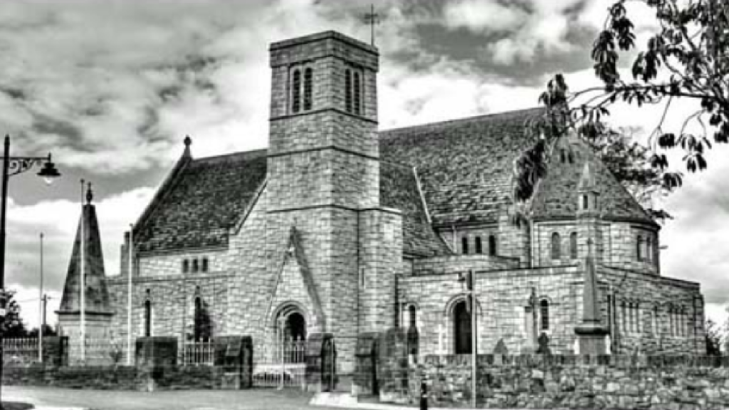 St. Maccullins WellHoly well · 194 yd
 ExcavationExcavation, miscellaneous · 268 yd
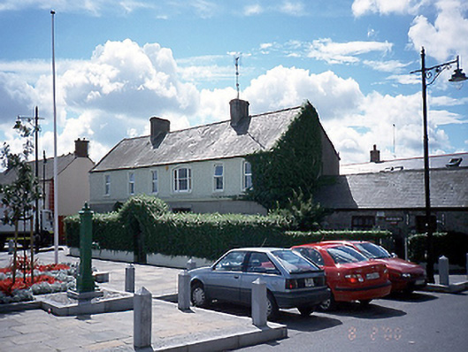 Fingal Househouse · 456 yd
 CastleCastle, unclassified · 1.5 mi
 The Birds of Rogerstown EstuaryVisitor information · 1.6 mi
 Turvey Allotments and Nature ReserveNature reserve · 1.9 mi
 Turvey HouseCastle, tower house · 1.9 mi
 Picnic AreaPicnic place · 2.2 mi
 Newbridge House and DemesneHeritage attraction · 2.5 mi
Other information
Photo: Credit not shown in the picture search · Rights wording not checked; contact us if this picture should be removed