What is recorded here
On a NW-facing slope, in pasture, c. 50m to E of a stream. Identified by Tracy Collins in 2006 during test trenching (Road Scheme Reg. No. E2320; Ministerial Direction No. A026) prior to the construction of the Southern Limerick Ring-Road and excavated by Aidan Harte in the same year as part of Gardenhill Site 1 (Harte 2009, 325). Located c. 90m to W of miscellaneous excavation (LI006-089002-). A subcircular-shaped pit (0.75m NW-SE; 0.65m NE-SW; D 0.12m) contained several fills including one that contained charcoal and burnt bone (Harte 2009, 325).
See attached location plan from excavation report.
Compiled by: Alison McQueen and Vera Rahilly
Date of upload: 1 July 2020
The monument record does not grant public access. Check the route and ask the landowner before entering private land.
- What survives
- Recorded monument
Places near here
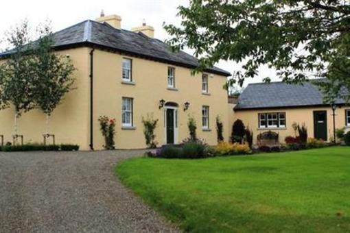 Fulacht fia in GardenhillFulacht fia · 26 yd
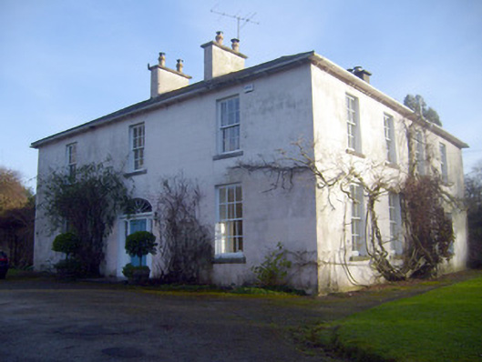 Gardenhill Housecountry house · 445 yd
 Woodpark Househouse · 644 yd
 Fulacht fia in GortnalahaghFulacht fia · 682 yd
 Castle ConnellRuins · 1.0 mi
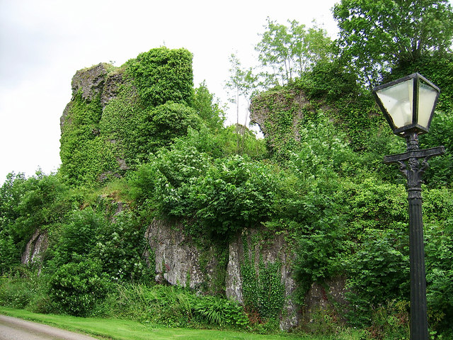 Castle Connell (in ruins)Castle, Anglo-Norman masonry castle · 1.0 mi
 Old PumpHeritage attraction · 3.5 mi
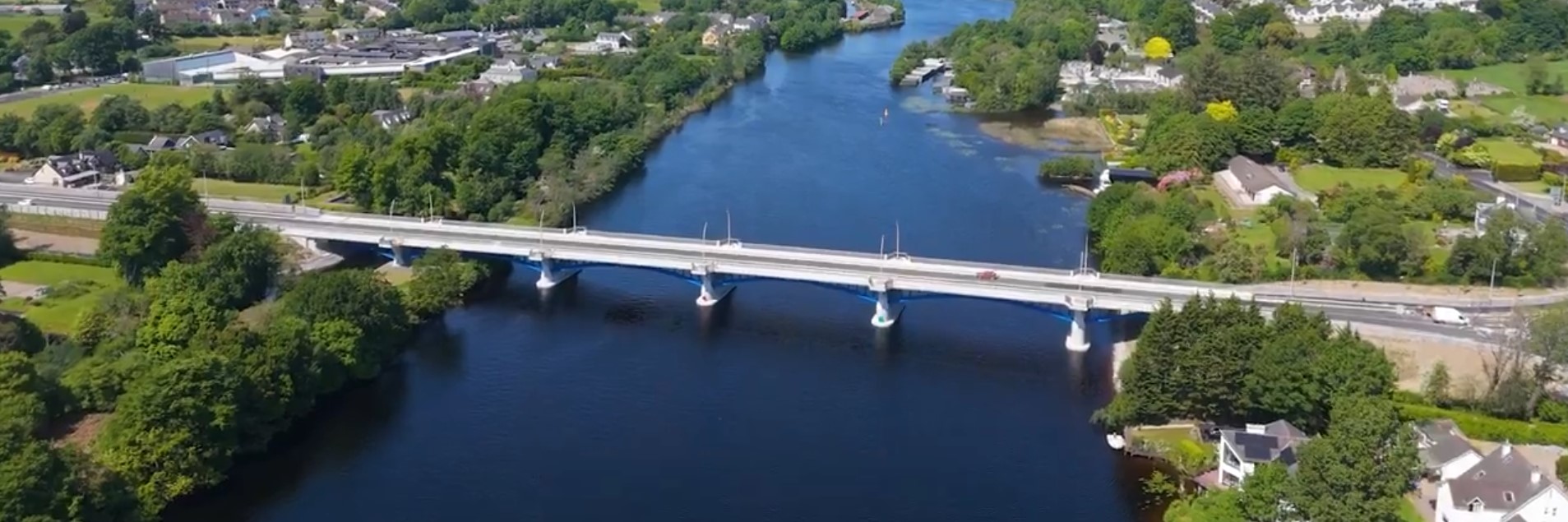 parking na O'Briena bridgeHeritage attraction · 3.5 mi
 Campus MapVisitor information · 4.1 mi
 Visitor CentreVisitor information · 4.1 mi
 The Pollagh TrailNature reserve · 5.0 mi
 Graveyard in AbingtonGraveyard · 5.5 mi