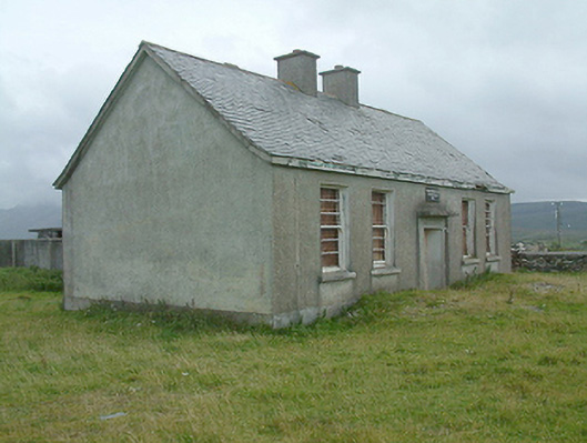
What is recorded here
Detached three- or five-bay single-storey national school, dated 1945, on a symmetrical plan. Now disused. Pitched slate roof on collared timber construction with terracotta ridge tiles centred on paired fine roughcast red brick Running bond chimney stacks having concrete capping supporting terracotta pots, slightly sproketed eaves, and no rainwater goods surviving on timber eaves boards on exposed timber rafters. Fine roughcast walls on rendered plinth. Square-headed central door opening below rusticated date stone ("1945") with overgrown threshold, and concealed dressings with fitting now boarded-up. Paired square-headed flanking window openings with concrete sills, and concealed dressings framing three-over-three timber sash windows having horizontal glazing bars. Set in unkempt grounds with boundary wall to perimeter having "saddleback" coping.
A dilapidated national school erected to a standardised design attributable to the Office of Public Works (established 1831) representing an integral component of the mid twentieth-century built heritage of County Mayo with the architectural value of the composition, one potentially retaining at its core the basis of a nineteenth-century school (extant 1901) annotated as "Cregganbaun School" on the third edition of the Ordnance Survey (surveyed 1913; published 1919), suggested by such attributes as the symmetrical plan form centred on a restrained doorcase. A prolonged period of neglect notwithstanding, the elementary form and massing survive intact together with substantial quantities of the original fabric, thereby upholding much of the character or integrity of a national school making a pleasing, if increasingly forlorn visual statement in a rural setting encircled by the Sheefry Hills.
This does not grant access. Most recorded buildings are privately owned; view them only from public ground unless the owner allows entry.
Places near here
 Enclosure in CregganbaunEnclosure · 194 yd
 Srahwee or Altoir Megalithic Wedge Tomb, Sraith Bhui (The Yellow River Land) – Clew Bay Archaeological Trail, Site 13Ruins · 1355 yd
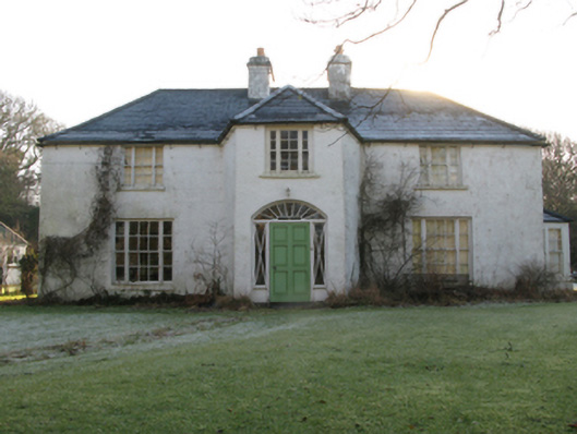 Tully Lodgehunting/fishing lodge · 2.5 mi
 Doo Lough Valley and Famine MemorialMemorial · 2.8 mi
 Hut IslandIslet · 3.0 mi
 O'Malley's CastleCastle · 3.4 mi
 foot bridgefoot bridge · 3.5 mi
 Ben BuryMountain / peak · 3.7 mi
 BarrclashcameMountain / peak · 3.9 mi
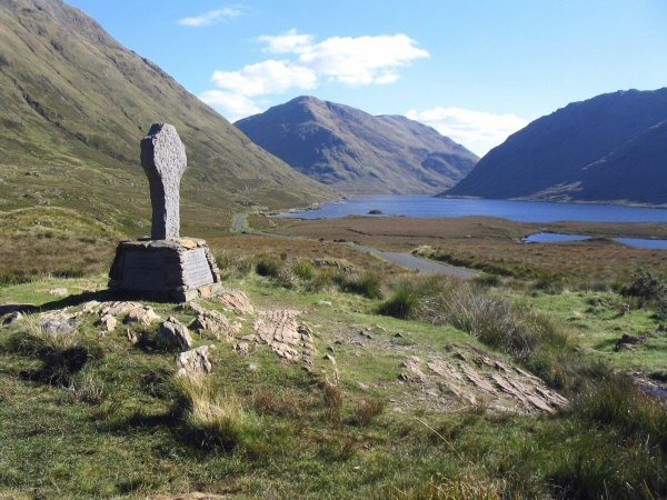 Doolough Tragedy 1849 MemorialMemorial · 4.0 mi
 Cross StrandBeach / strand · 4.3 mi
 Bunlough StrandBeach / strand · 4.3 mi
Other information
Photo: National Inventory of Architectural Heritage · Website use allowed for educational or private purposes with source credit