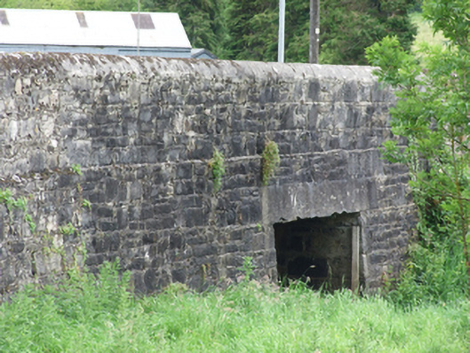
What is recorded here
Single-span road bridge, built c.1820, supporting a slightly humped deck with curved approaches over low banks, altered c. 1990. Random coursed rubble stone walls, with slight battered, parapets of same construction with slight offset to walls below and rounded cement-mortar coping. Replacement span of concrete slab on random rubble stone abutments. Parapets merge with roadside boundary walls of rubble stone and rough stone cappings.
A stone bridge on an important connection to Belturbet from the north, spanning a small river which drains into the River Erne directly to the west. The bridge is highly visible from the higher ground of Barrack Hill, the approach from the south-west, and forms an important part of that streetscape. It belongs to a group of road bridges that from part of the civil engineering heritage of Belturbet.
From the Buildings of Ireland (National Inventory of Architectural Heritage) record 40307013
This does not grant access. Most recorded buildings are privately owned; view them only from public ground unless the owner allows entry.
Places near here
Photo credits
- National Inventory of Architectural Heritage
- Kenneth Allen, Geograph · CC BY-SA 2.0
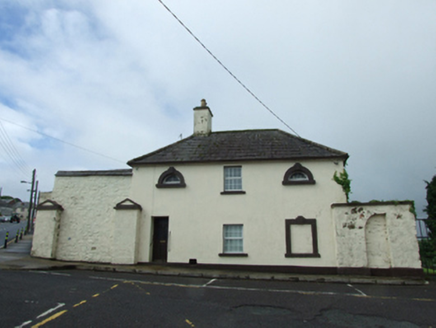 officer's house148 yd
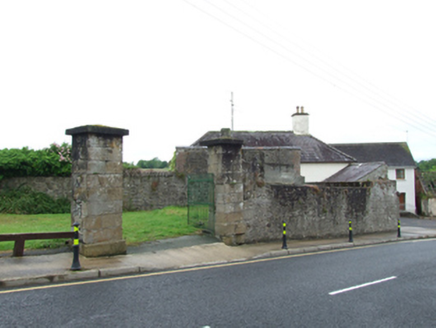 gates/railings/walls164 ydBomb Victims MemorialMemorial · 635 yd
 Mill WalkVisitor information · 803 ydBastioned fort in Corporation LandsBastioned fort · 845 yd
 Welcome to Belturbet StationVisitor information · 862 yd
 Belturbet Heritage Railway Station MuseumMuseum · 866 yd
 Belturbet Railway Station Visitor CentreHeritage attraction · 881 ydSit of CastleCastle, motte and bailey · 1015 ydTurbet IslandWood · 1020 ydTurbet Island Castle Motte and BaileyArchaeological place · 1021 yd
 Putiaghan Lower ForestForest · 1.3 mi
More historic places in County Cavan · All of County Cavan
What do you know about this place?