What is recorded here
The following description is derived from both the published 'Archaeological Inventory of County Louth' (Dublin: Stationery Office, 1986) and the 'Archaeological Survey of County Louth' (Dublin: Stationery Office, 1991). In certain instances the entries have been revised and updated in the light of recent research.
Date of upload/revision: 17 July 2007
Situated roughly 27m from N edge of a marshy area, known locally as the 'Red Bog'. The site is recorded by Stubbs (JRSAI 1889, 272-4) as an oval area (max. dims. c. 30m by c. 22m) enclosed by a double ring of oak piles, set roughly 0.7-1m apart, with some morticed horizontal beams interspaced. There is a local tradition of a zigzag stone causeway from the N shore. No piles or surface features of the crannog are now visible, but the location is marked by a dense growth of bushes.
The monument record does not grant public access. Check the route and ask the landowner before entering private land.
- What survives
- Recorded monument
Places near here
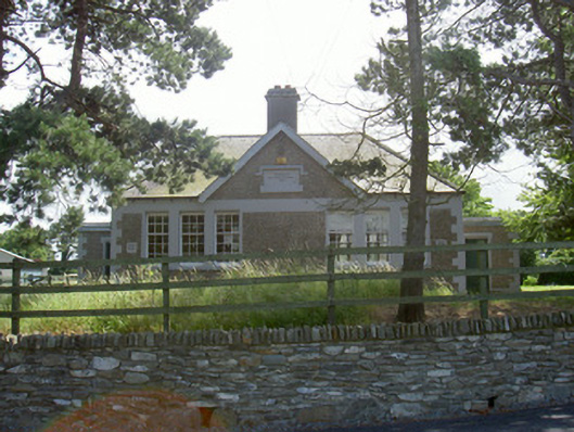 Dromiskin National Schoolschool · 324 yd
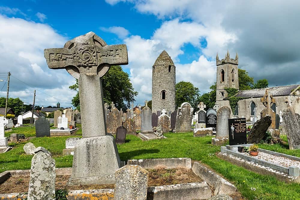 Font in DromiskinFont · 334 yd
 Saint Peter's Catholic Churchchurch/chapel · 474 yd
 Man-made underground passage in DromiskinMan-made underground passage · 532 yd
 Viking BoatHeritage attraction · 856 yd
 CastleCastle, unclassified · 1173 yd
 Drummeenagh HillMountain / peak · 1.3 mi
 Castle (Site of)Castle, unclassified · 2.1 mi
 Long WoodForest · 2.1 mi
 Broad WoodForest · 2.2 mi
 BallybarrackMountain / peak · 4.3 mi
 Graveyard in Richardstown (ardee By., Richardstown Par.)Graveyard · 5.0 mi