What is recorded here
Located on the NW shore of Derrykerrib lough in level, low pasture which at the time of inspection (2000) was extremely waterlogged. The monument comprises a grass-covered, steep-sided mound of earth and stone (dims. c.17m NNW-SSE; c.12m ENE-WSW-max H c1.1m). The top of the mound is relatively flat (dims. c. 14.5m x c.10.5m). The lower portion of the mound was encircled by up 0.3m in water.
Compiled by: Chris Corlett, Paul Walsh
Date of upload: 15 February 2018
The monument record does not grant public access. Check the route and ask the landowner before entering private land.
- What survives
- Recorded monument
Places near here
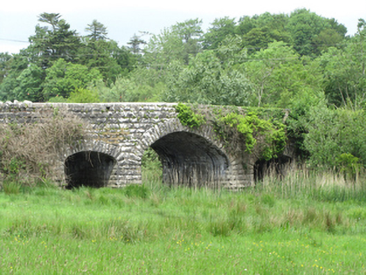 Quivvy Bridgebridge · 146 yd
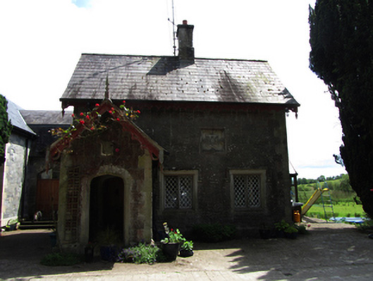 Lanesborough Lodgegate lodge · 186 yd
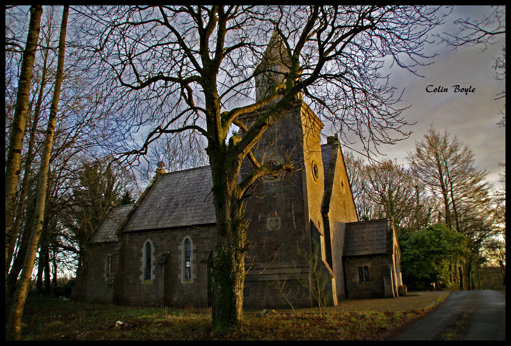 Quivvy WoodWood · 1054 yd
 Derryarmush ForestForest · 1.0 mi
 Grilly Castle in RuinsCastle, unclassified · 1.7 mi
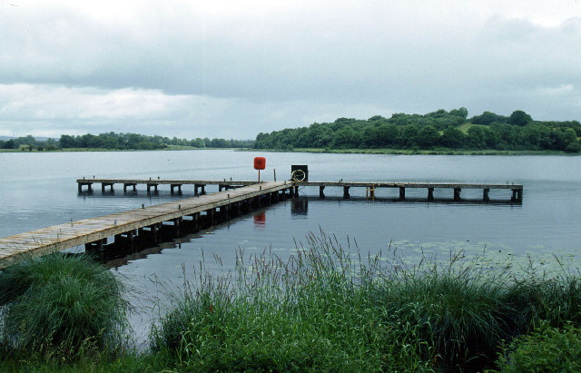 Galloon IslandIsland · 1.9 mi
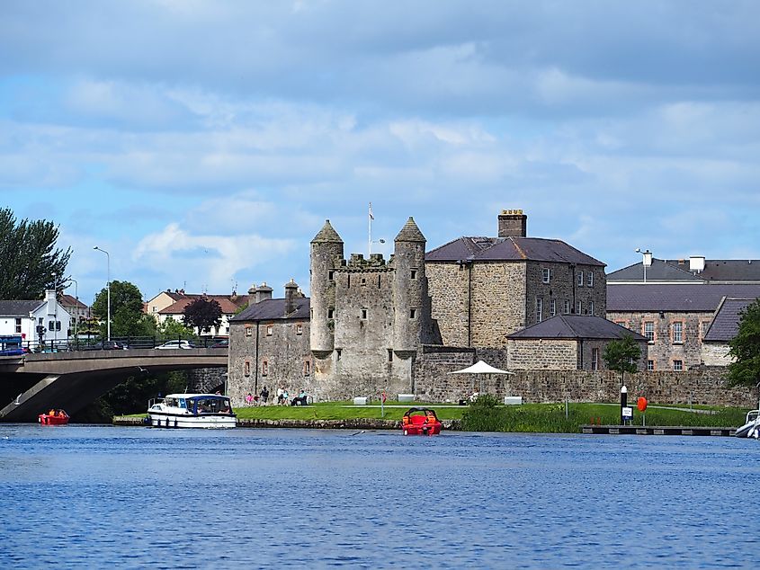 Small IslandIslet · 2.1 mi
 HOLY WELL: TOBERAKILL in KiltoberHOLY WELL: TOBERAKILL · 2.3 mi
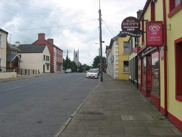 IndicatedFairy fort / earthen ringfort · 2.3 mi
 Bawn in KillyfanaBawn · 2.4 mi
 ClonandraMountain / peak · 2.6 mi
 InishfendraMountain / peak · 2.8 mi