What is recorded here
Crannog in Carramoreen,ramulligan occupies the western edge of Ramulligan Lough in County Cavan, where a small island still emerges beside a marshy basin that once stretched much farther. The lake has shrunk, exposing reeds and a narrow drain while leaving the crannog hidden from ordinary maps. It is the kind of place that resists being known: water withdrew, memory thinned, and a small island kept its own counsel.
Located towards the W end of the teardrop-shaped Ramulligan Lough (dims c.120m NE-SW; c. 60m NW-SE), but the lake was once larger (dims c. 200m NE-SW; c. 90m NW-SE) and now has a very marshy edge with a drain along its NW edge. This feature is not depicted on any map but a small island (max. dim. c. 10m) is visible on all the aerial imagery from 1995 onwards. It was first reported by Anne-Karoline Distel but has not yet been visited.
Compiled by: Michael Moore
Date of upload: 29 November 2022
The monument record does not grant public access. Check the route and ask the landowner before entering private land.
- What survives
- Recorded monument
Places near here
 Clonandra Ramulligan Bog WoodWood · 625 yd
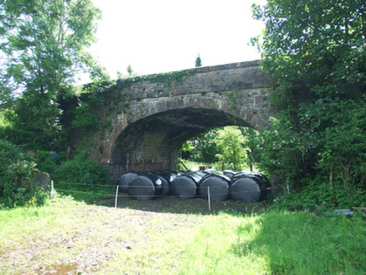 bridgebridge · 640 yd
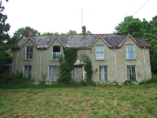 Killynurehouse · 878 yd
 RuinsHouse, fortified house · 896 yd
 SycamoreSycamore · 970 yd
 DrumakeenanMountain / peak · 1040 yd
 ClonandraMountain / peak · 1576 yd
 IndicatedEcclesiastical enclosure · 1.0 mi
 Holy WellHoly well · 1.1 mi
 Bawn in KillyfanaBawn · 1.1 mi
 Garden IsleIslet · 3.9 mi
 Annagh Lough BeachBeach / strand · 4.1 mi