
What is recorded here
Situated at the bottom of a S and E-facing slope and c. 10m N of a SW-NE stream close to a point where the stream turns NW. It is described as a ‘Holy Well’ in gothic lettering on the 1834 and 1907 editions of the OS 6-inch map and it is known locally as St. Patrick’s Well of the Wart Well. A rectangular pool (dims 2.6m NE-SW; c. 1m NW-SE; D 0.6m) has an arm (dims 3.5m NW-SE) extending NW from its NE end. It is partly defined by small stones. A bullaun stone (MO021-012002-), which had a cure for warts is now thought to be in the floor of the well. The ecclesiastical enclosure (MO21-001----) is c. 100m to the NW.
Revised by: Michael Moore
Date of revised upload: 21 June 2018
The monument record does not grant public access. Check the route and ask the landowner before entering private land.
- What survives
- Recorded monument
Places near here
 IndicatedEcclesiastical enclosure · 172 yd
 Worm Ditch or Black Pigs RaceArchaeological place · 272 yd
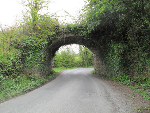 bridgebridge · 894 yd
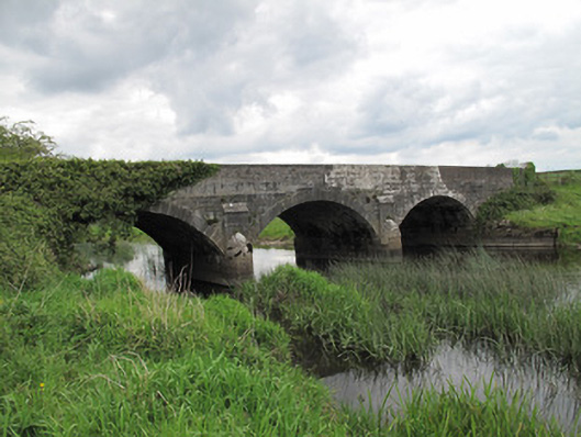 Annaghmullin Bridgebridge · 992 yd
 SandhillsMountain / peak · 1723 yd
 European YewEuropean Yew · 1760 yd
 RuinsHouse, fortified house · 1.0 mi
 SycamoreSycamore · 1.0 mi
 ClonandraMountain / peak · 1.2 mi
 Bawn in KillyfanaBawn · 2.2 mi
 Garden IsleIslet · 4.2 mi
 Annagh Lough BeachBeach / strand · 5.0 mi
Other information
Photo: Credit not shown in the picture search · Rights wording not checked; contact us if this picture should be removed