What is recorded here
Crannog in An Roisín Theas is a rocky island in Maghery Lough, Donegal, where a boulder causeway still joins it to the mainland. Its eastern edge carries a submerged stone ledge and a later rectangular enclosure, while bedrock rises like a forgotten cliff on the north side. People may have lived there when the tide exposed the path, keeping watch over water that belonged partly to the sea.
In the E half of Maghery Lough, a small tidal lake located in a strip of coastal machair which is bordered to S by mountainous terrain. The lake is connected to a sea inlet at is N end. Beach-fringed Maghery Bay is c. 750m to W. Templecrone church (DG048-008001-) and Templecrone holy well (DG048-007----), associated with a ‘turas’ or pilgrimage route, are located on a broad peninsula c. 900m to NW.
This small natural island is adapted to serve as a crannog, with a narrow causeway (DG056-005001-) of boulders connecting it to the mainland c. 30m to E.
The island is rocky at base; the surface is grass-covered providing a relatively level, raised subcircular area (18-20m E−W; c. 23m N−S) suitable for habitation. On the E−S arc the outer edge of the island is reinforced by a rubble wall. The wall is evident as a loose jumble (Wth 2.5-3m; ext. H 1-1.4m) of large stones and boulders, which barely rises above interior ground level and slumps down to water level. The wall drops to a flat-topped stony ledge (Wth c. 1m) at a depth of c. 0.2m below water level, which projects outward from the island and appears to have a vertical drop into deeper water at its outer edge. The ledge appears to be a built feature, composed of stones, but it is algae-covered and cannot be examined closely.
At NE and SW the rubble wall peters out, giving way to bedrock outcropping which provides a natural protective barrier on the W−N side of the island, rising to an almost vertical cliff (H c. 3m) at NW−NE.
The interior space is thickly grass-covered. Protruding bedrock in the N third rises to a small peak, c. 1.5m higher than the rest of the interior, topped by a flat grassy area (diam. c. 5m). The remainder of the interior is relatively level, with an uneven surface and a slight slope down to S−SE. There is a low, partly grass-covered heap (diam. c. 2m) of stones in the S half. At the E edge of the island, a rectangular area (4m N−S; 2-2.5m E−W) is enclosed at S, W and N by a roughly built drystone wall, which post-dates the enclosing rubble wall. It is open to W where it faces the causeway. A single upright stone (H 0.8m; Wth 0.5m; T 0.15m) protrudes from the grass immediately to W of the rectangular enclosure.
The causeway connects the island to a small rocky peninsula which projects into the E side of the lake, where there is a pocket of arable land.
Notified to NMS by Michael Gibbons.
Attached images:
DG056-005001-_01.JPG Viewed from S
DG056-005001-_02.JPG Viewed from SE
DG056-005001-_03.JPG Viewed from E, with causeway (DG056-005002-) in foreground
DG056-005001-_04.JPG perimeter wall at SE, viewed from W
DG056-005001-_05.JPG perimeter wall, at SE viewed from E
DG056-005001-_06.JPG terrace or ledge of stones beneath waterline
DG056-005001-_07.JPG Enclosed rectangular space on E side of island
Compiled by: Jane O'Shaughnessy
Date of upload: 5 May 2022
The monument record does not grant public access. Check the route and ask the landowner before entering private land.
- What survives
- Recorded monument
Places near here
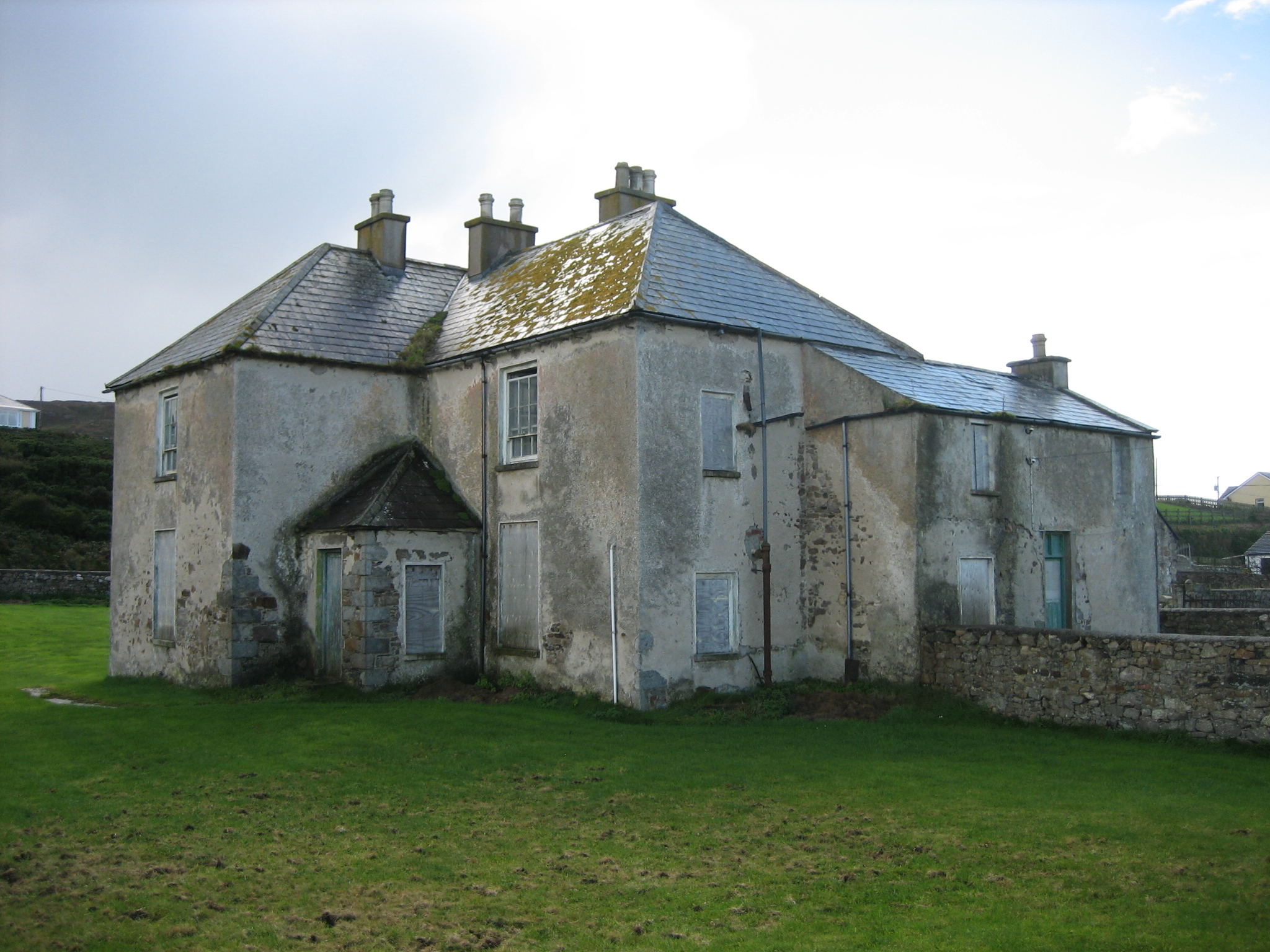 The Rectoryrectory/glebe/vicarage/curate's house · 667 yd
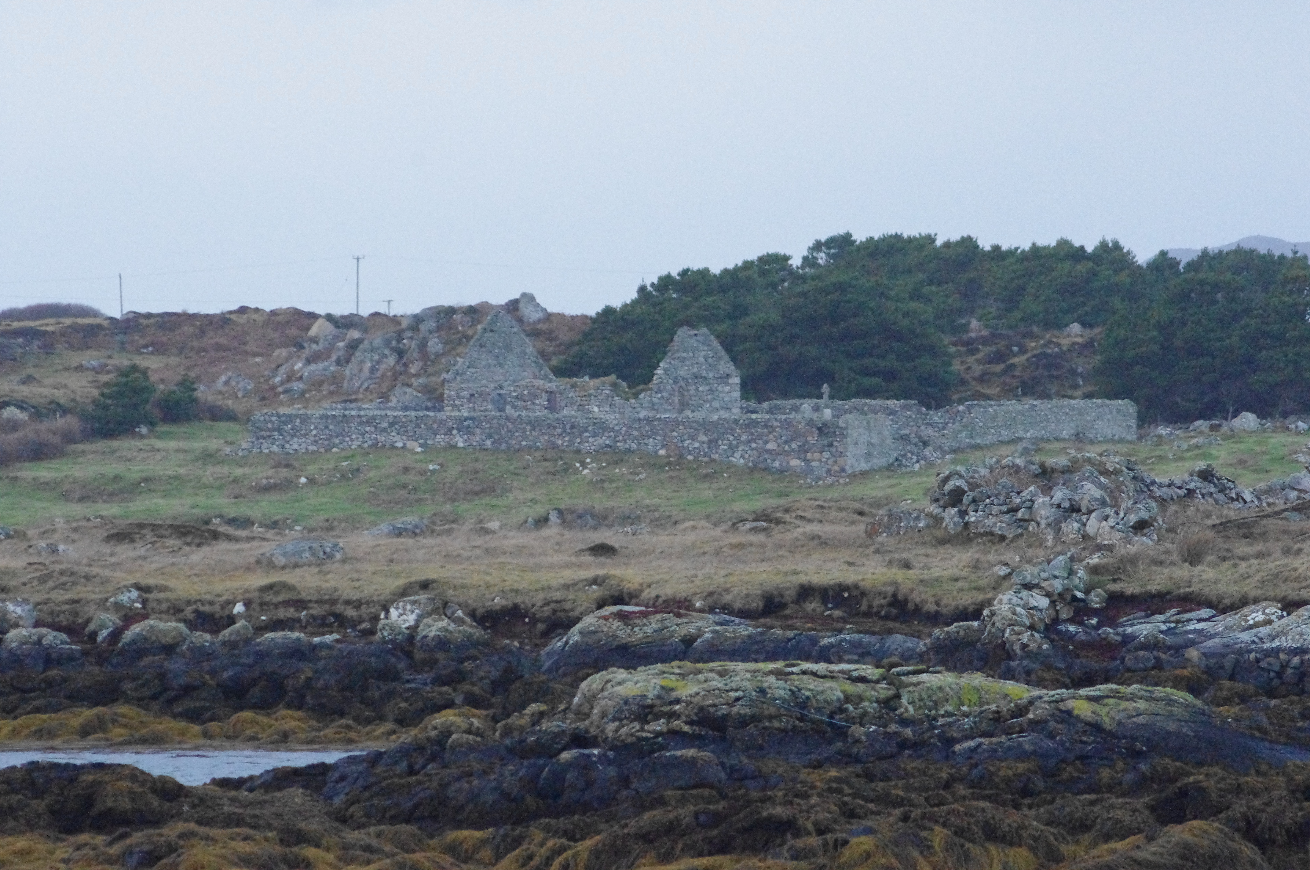 Teampall Cróine [Templecrone]church/chapel · 1097 yd
 Enclosure in An MachaireEnclosure · 1232 yd
 TobercroneHoly well · 1239 yd
 CroaghnamaddyMountain / peak · 1.6 mi
 Inis Mhic an DoirnIsland · 3.2 mi
 Hook Point / Pointe an DuáinHeadland · 3.3 mi
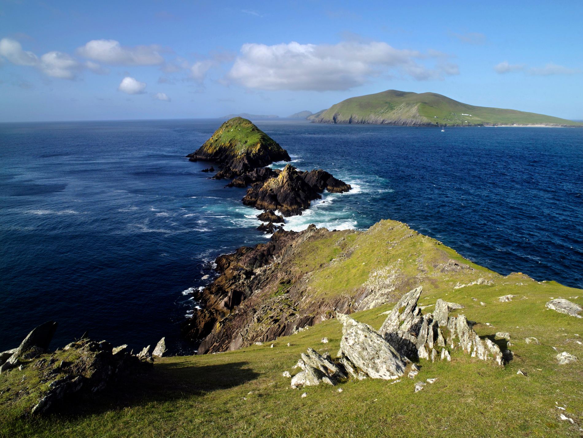 Brush IslandsIslet · 3.9 mi
 Trá an ChaisilBeach / strand · 4.0 mi
 Near beachBeach / strand · 4.0 mi
 Drumlaghdrid HillMountain / peak · 4.9 mi
 Bonny Glen WoodForest recreation place · 6.9 mi