
Places near here
Photo credits
- Maker not stated on source page, www.dreamstime.com
- Maker not stated on source page, www.echolive.ie
- Maker not stated on source page, br.pinterest.com
- Maker not stated on source page, monumentalireland.ie
- Golfing in Ireland; photographer not stated, Source publisher
- Maker not stated on source page, uk.pinterest.com
- Maker not stated on source page, irelandsholywells.blogspot.com
- Maker not stated on source page, www.geograph.ie
- Maker not stated on source page, commons.wikimedia.org
- National Inventory of Architectural Heritage
- Willow, Wikimedia Commons · CC BY 2.5
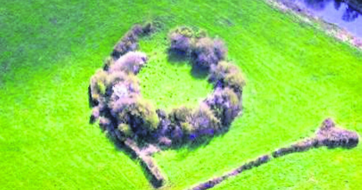
 Fairy fort / ringfort in CallowhillFairy fort / ringfort · 279 yd
Explorer Tom Fairy fort / ringfort in Callowhill is mostly gone, replaced by a quarry that thinks it’s fancy. Its family tree is a…
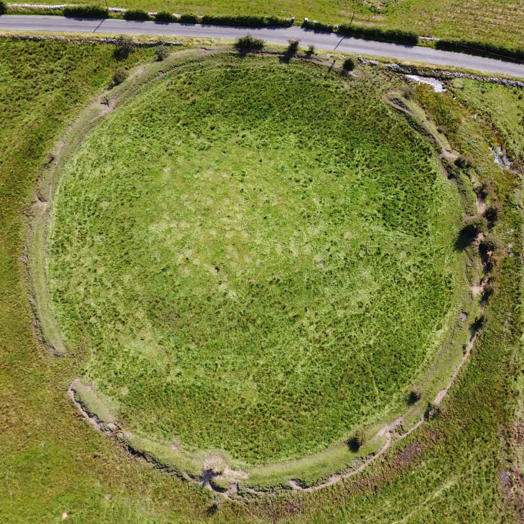
 Fairy fort / earthen ringfort in CallowhillFairy fort / earthen ringfort · 281 yd
Explorer Tom Fairy fort / earthen ringfort in Callowhill is so perfectly circular it makes me feel like I’m measuring with a ruler.…
 Standing stone in CastlerogyStanding stone · 1024 yd
Explorer Tom This conglomerate in Castlerogy would tell a teenager that the 1800s were all about good posture and bad shoes. It’s…
 Fairy fort / earthen ringfort in Drumdartan GlebeFairy fort / earthen ringfort · 1408 yd
Explorer Tom This Drumdartan Glebe fort has a tunnel to the pub, if you believe the tall tales. Four trees stand guard on its bank…
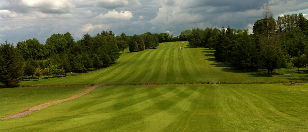 Ballinamore Golf ClubGolf course · 1488 yd
 Court tomb in CreevyCourt tomb · 1596 yd
Explorer Tom Court tomb in Creevy is sitting on a golf course, which is either genius or chaos. It’s got entrance jambs and a bit of…
 Holy well in CromlinHoly well · 1599 yd
Explorer Tom Holy well in Cromlin once had St Patrick’s own personal drama happen right next to that big tree. The well is dry now…
 Mapped graveyardGraveyard · 1.3 mi
Explorer Tom Mapped graveyard in County Leitrim is in an ongoing feud with the rain because it refuses to let the stones dry out…
 Oughteragh CemeteryCemetery · 1.3 mi
Explorer Tom The one question Oughteragh Cemetery is sick of being asked is whether it's haunted, which annoys the heck out of it…
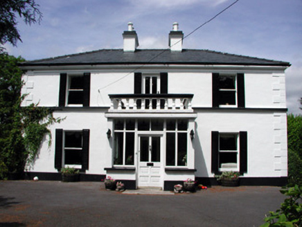 Curranmount HouseHouse · 1.6 mi
Explorer Tom Curranmount House has a hidden message in its stones if you squint hard enough and believe in conspiracies. It’s…
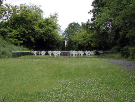 Convent of MercyGraveyard/cemetery · 1.6 mi
Explorer Tom Convent of Mercy in Aghadark is using cast-iron grave markers because stone was too heavy for its ego to carry on its…
 European ash1.8 mi
Explorer Tom European Ash has a secret talent for looking impressive while doing absolutely nothing at all. It stands tall in…
More archaeology and monuments in County Leitrim · All of County Leitrim

What do you know about this place?Tap to add a comment or ask a question