What is recorded here
According to the Ordnance Survey Letters of 1838-40, 'A little to the north of the old castle (WI019-005002-) they shew the site of the Gaol, but nothing now remains there but a broken pillar of stone and mortar, six feet high, six long and four thick' (Corlett and Medlecyott 2000, 216). In 1837 it was recorded that ‘near the north end of the village are the vestiges of a strong building, said to have been the gaol and court-house, and near it are the remains of two other castles (WI019-005008-; WI019-005009-)’ (Lewis 1837, 427). The precise location of the courthouse and gaol is not currently known.
Compiled by: Caimin O'Brien
Date of upload: 28 September 2012
The monument record does not grant public access. Check the route and ask the landowner before entering private land.
- What survives
- Recorded monument
Places near here
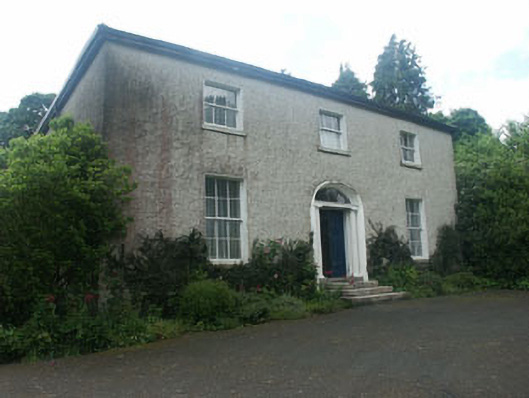 Millbrook Househouse · 150 yd
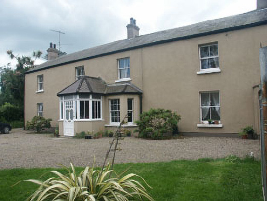 Oaklawnhouse · 168 yd
 Castle (in Ruins)Castle, ringwork · 225 yd
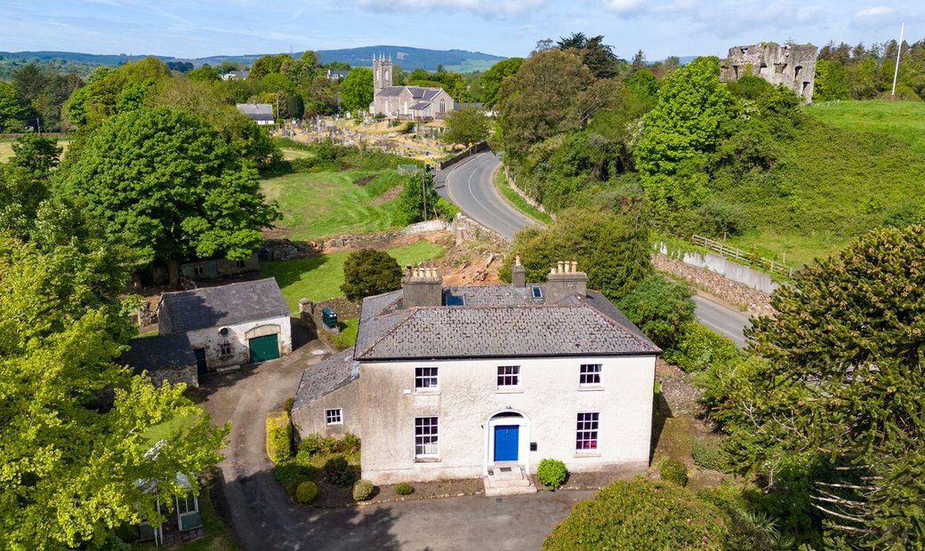 Enclosure in Newcastle LowerEnclosure · 765 yd
 IndicatedFairy fort / earthen ringfort · 770 yd
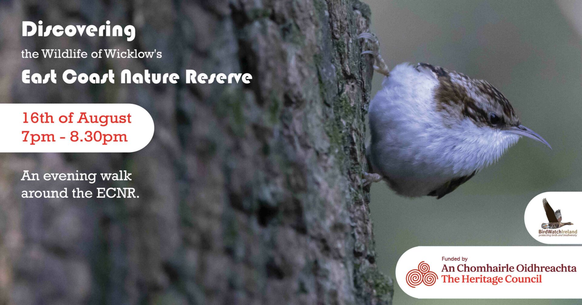 East Coast Nature ReserveNature reserve · 1.2 mi
 CastleCastle, ringwork · 1.5 mi
 Leamore StrandBeach / strand · 1.6 mi
 SycamoreSycamore · 1.6 mi
 Glenroe FarmHeritage attraction · 3.0 mi
 Delgany Heritage TrailWalking route · 4.5 mi
 Greystones South BeachBeach / strand · 4.9 mi