What is recorded here
Corner House in Killinane was a stopping place where Bianconi changed horses before it became homes. A pity that service disappeared: arrive worn out by a family visit, exchange your relatives for a fresh team, and press on towards Cork.
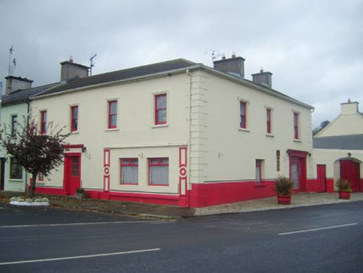
Corner-sited end-of-terrace four-bay two-storey house, built c. 1780, having render shopfront to front (south) elevation and timber shopfront to east elevation. Carriage arch to east and extensions to rear (north) elevations. Hipped slate roof with rendered chimneystacks. Lined-and-ruled rendered walls having render quoins. Square-headed openings with one-over-one pane timber sliding sash windows to first floor and painted stone sills. Square-headed opening having moulded render surround, entablature, cornice and half-glazed timber panelled door. Shopfront comprising raised render pilasters with roundel motifs and cornice. Square-headed timber casement display windows with concrete sills. Shopfront to east comprising pilasters with recessed panels, fascia and cornice. Square-headed timber casement display window having cast-iron sill guard. Square-headed opening with half-glazed timber panelled door. Elliptical-headed carriage arch to east having replacement double-leaf metal doors and square-headed pedestrian entrance.
This prominently sited building was once used as a base by Bianconi on the Cashel to Cork route. Its modest form is enlivened by ornate render details, such as the quoins and shopfront. The timber sash windows help maintain its original character. The shopfront to the east retaining its small display window is an interesting feature and is representative of the small-scale commercial activity which once took place in many towns in Ireland. On the first edition OS map for Limerick this area was called Lowe's Town. Timber plaque to wall reads: 'This building was originally used as a base by Bianconi, to change horses on his way from Clonmel to Cork, and it was converted into dwelling houses in the year 1836, making this side of the street the oldest in the village.'
From the Buildings of Ireland (National Inventory of Architectural Heritage) record 21810001
This does not grant access. Most recorded buildings are privately owned; view them only from public ground unless the owner allows entry.
Places near here
Photo credits
- National Inventory of Architectural Heritage
- Hywel Williams, Geograph · Creative Commons Attribution-ShareAlike 2.0
- Colin Park, Geograph · CC BY-SA 2.0
- N Chadwick, Geograph · CC BY-SA 2.0
- Mike Searle, Wikimedia Commons · CC BY-SA 2.0
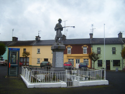 War of Independence MonumentMonument · 29 yd
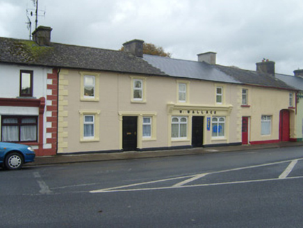 W. WallaceHouse · 36 ydDarby's Bed Walk LoopWalking route · 1.2 miDuntryleague - hachuredCastle, ringwork · 2.0 mi
 Ladys WellHoly well · 2.7 miCarn (site of)Cairn, burial cairn · 3.1 mi
 SlievenamuckMountain / peak · 3.2 mi
 Grave YardGraveyard · 3.6 miAssaroula WaterfallWaterfall · 3.7 miSaint Patrick's WellSpring · 3.8 mi
 Paradise HillMountain / peak · 3.9 mi
 Castle (in ruins)Castle, tower house · 5.0 mi
More historic places in County Limerick · All of County Limerick
What do you know about this place?