What is recorded here
Raised almost circular area (int. diam. c. 118.5m) enclosed by a substantial earthen bank from WSW-N-E and a wide, deep fosse. A scarp which appears to be natural in part runs from S-WSW. Bank is breached at SSE and NW and one of these breaks probably represents the original entrance. The site is situated in low-lying ground, bounded by a swamp from SE-S-WSW, and overlooked by higher ground.
From the National Monuments Service (Archaeological Survey of Ireland) record CV020-048
The monument record does not grant public access. Check the route and ask the landowner before entering private land.
- What survives
- Recorded monument
Places near here
Granshagh or Riverview Fort (Site of)Enclosure · 773 ydDuck IslandIsland · 1123 yd Carratraw BridgeBridge · 1171 ydBlackstick BridgeBridge · 1497 ydClogh Oughter CastleCastle, Anglo-Norman masonry castle · 1.9 miRambling at Farnham EstateVisitor information · 2.5 miPedunculate Oak2.6 miCloughoughter CastleIsland castle ruin · 2.6 miDrumlane AbbeyHeritage attraction · 2.8 miEuropean Beech2.9 miCourt tomb in GartnanoulCourt tomb · 3.5 miMill WalkVisitor information · 4.6 mi
 Carratraw BridgeBridge · 1171 yd
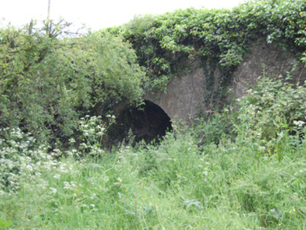 Blackstick BridgeBridge · 1497 yd
 Clogh Oughter CastleCastle, Anglo-Norman masonry castle · 1.9 mi
 Rambling at Farnham EstateVisitor information · 2.5 mi
 Pedunculate Oak2.6 mi
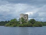 Cloughoughter CastleIsland castle ruin · 2.6 mi
 Drumlane AbbeyHeritage attraction · 2.8 mi
 European Beech2.9 mi
 Court tomb in GartnanoulCourt tomb · 3.5 mi
 Mill WalkVisitor information · 4.6 mi
Pictures: Stephen Burton, Wikimedia Commons · CC BY-SA 2.0; National Inventory of Architectural Heritage; Adam Simpson, Geograph · CC BY-SA 2.0; Peter Gerken, Geograph · CC BY-SA 2.0; Algirdas at Lithuanian Wikipedia, Wikimedia Commons · Public domain; Oliver Dixon, Wikimedia Commons · CC BY-SA 2.0; Malene Thyssen, Wikimedia Commons · CC BY-SA 3.0; NTF30, Wikimedia Commons · CC BY-SA 4.0; Kenneth Allen, Geograph · CC BY-SA 2.0
More archaeology and monuments in County Cavan · All of County Cavan
What do you know about this place?