What is recorded here
Granshagh or Riverview Fort occupies a broad circular area just south of the drumlin ridge top, large enough for seventy metres of internal diameter before human activity levelled its earth. The vanished bank and fosse likely enclosed a settlement, ceremonial ground or defensive position where people watched the land below. Its size suggests confidence, pride or necessity, while its disappearance reminds that even substantial local landmarks can fade when fields, roads or forgetting advance.
Marked as 'Granshagh or Riverview Fort' on OS 1836 and 1876 eds. Situated just S of the top of a high drumlin ridge. Although levelled, the outline of what was apparently an earthen bank and fosse may still be identified enclosing a large approximately circular area (int. diam. c. 70m).
The above description is derived from the published 'Archaeological Inventory of County Cavan' (Dublin: Stationery Office, 1995). In certain instances the entries have been revised and updated in the light of recent research.
Date of upload/revision: 22 December 2008
The monument record does not grant public access. Check the route and ask the landowner before entering private land.
- What survives
- Recorded monument
Places near here
 Cornabrassan FortEnclosure · 773 yd
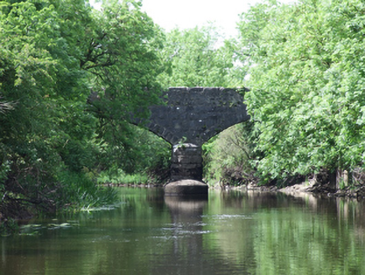 Urney Bridgebridge · 984 yd
 Carratraw Bridgebridge · 1659 yd
 IndicatedFairy fort / earthen ringfort · 1.0 mi
 Duck IslandIsland · 1.0 mi
 Giants GraveArchaeological place · 1.2 mi
 DrumcalpinMountain / peak · 1.4 mi
 InishmuckIsland · 1.4 mi
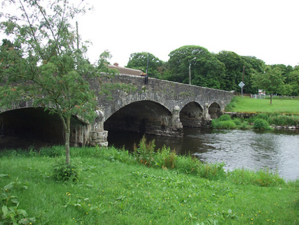 Derrygarra UpperMountain / peak · 1.5 mi
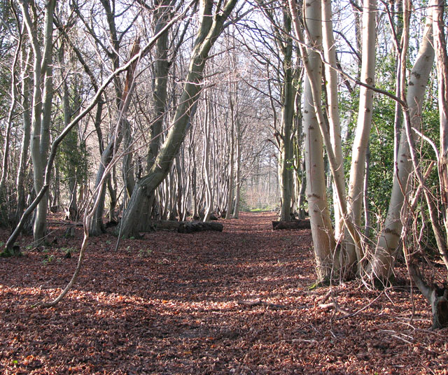 Kilnaglare Lower WoodForest · 1.6 mi
 Annagh Lough BeachBeach / strand · 1.6 mi
 Sheepwalk PlantationForest · 1.8 mi
Other information
Photo: Credit not shown in the picture search · Rights wording not checked; contact us if this picture should be removed