What is recorded here
In 1612 Robert Dillon of Cannorstown was granted 'a water-mill in Russagh' (Cal. pat. rolls Ire., Jas I, 228). The post medieval corn mill depicted on the OS 6-inch map may have been built on the site of the medieval mill.
Compiled by: Caimin O'Brien
Date of upload: 24 July 2015
The monument record does not grant public access. Check the route and ask the landowner before entering private land.
- What survives
- Recorded monument
Places near here
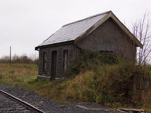 Street and Rathowen Railway Stationrailway station · 329 yd
 Partially indicatedFairy fort / earthen ringfort · 397 yd
 CastleCastle, motte · 644 yd
 Ecclesiastical enclosure in RussaghEcclesiastical enclosure · 679 yd
 Church (in Ruins)Church · 680 yd
 MoatCastle, motte and bailey · 1.0 mi
 Silver FirSilver Fir · 2.1 mi
 Sweet ChestnutSweet Chestnut · 2.9 mi
 Edgeworthstown BypassMemorial · 4.8 mi
 Bridge Memorial (Kenna)Memorial · 5.2 mi
 Granard MotteMotte-and-bailey castle remains · 7.5 mi
 1798 Monumentmonument · 7.5 mi