
What is recorded here
On SW bank of Farahy River. Roofless, overgrown 4-storey rectangular mill (int.: 9.6m E-W; 6.55m N-S), 3-bays wide; built against steep face of river glen on S side. Windows have wooden lintels under stone-arch. Low gable on E and W end walls, with diamond-shaped window near apex. Wheel-pit (Wth 1.52m) alongside W wall; rear of pit rock-cut, with spring at base; head race drops c. 3.5m into pit which housed a high breastshot waterwheel. Two-storey grain-drying kiln (4.95m E-W; 4.95m N-S) added to W end of S wall, its ground floor at 1st-floor level of mill. Central stone-lined depression (0.93m x 0.72m) indicates position of furnace. Ledge along walls between ground and 1st floors formerly supported drying floor; door ope in 2nd floor in N wall of mill, connects mill to drying floor. Millrace taken from river c. 400m to W, just S of Farahy. Known locally as 'Carroll's Mills'; according to local information, used as handball alley in mid 20th century. Indicated as 'Corn Mill' on 1842 OS 6-inch map; marked 'disused' on 1905 OS 6-inch map.
The above description is derived from the published 'Archaeological Inventory of County Cork. Volume 4: North Cork' (Dublin: Stationery Office, 2000). In certain instances the entries have been revised and updated in the light of recent research.
Date of upload/revision: 14 January 2009
The monument record does not grant public access. Check the route and ask the landowner before entering private land.
- What survives
- Recorded monument
Places near here
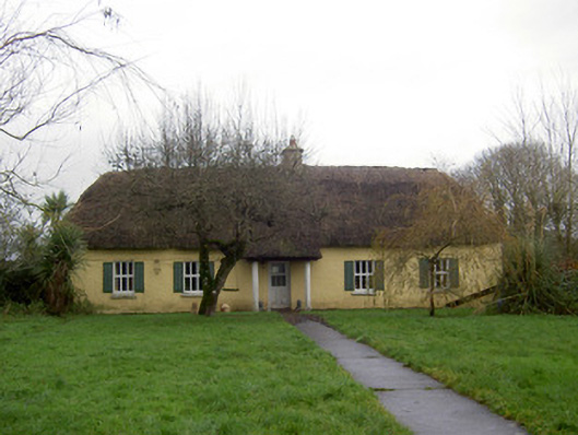 farm housefarm house · 529 yd
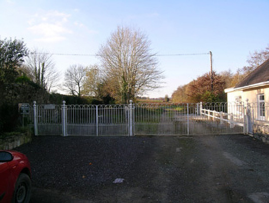 Bowen's Courtdemesne walls/gates/railings · 562 yd
 Grave YardGraveyard · 655 yd
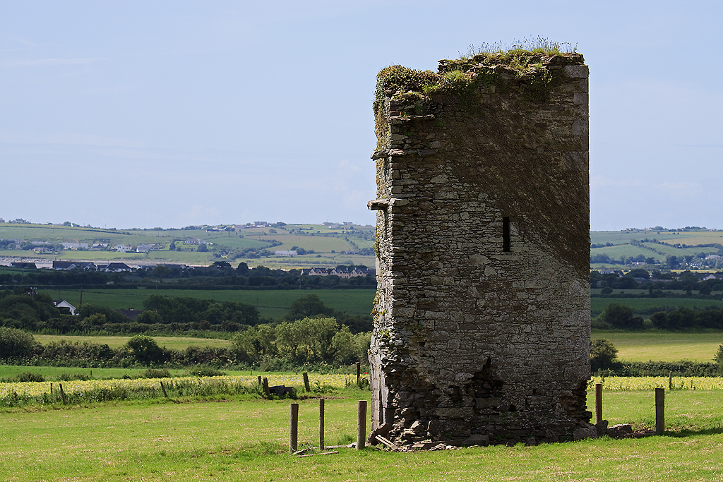 Farahy Castle (in Ruins)Castle, unclassified · 763 yd
 IndicatedFairy fort / earthen ringfort · 916 yd
 North Meadow WoodForest · 1589 yd
 Horse Field WoodForest · 1700 yd
 Castletown Castle (Site of)Castle, unclassified · 1.3 mi
 Flat cemetery in Ballyenahan NorthFlat cemetery · 1.6 mi
 Anne's Grove GardensHeritage attraction · 3.3 mi
 CarrigeenamronetyMountain / peak · 3.6 mi
 Coolfree MountainMountain / peak · 3.9 mi
Other information
Photo: Credit not shown in the picture search · Rights wording not checked; contact us if this picture should be removed