What is recorded here
A mill is marked in this area on the Strafford map of c. 1636, W of Mullagh at a place called Stratamery (Simington 1949, Athlone (73)). It was close to the boundary with Tobberbridy and the bog of Eskebane. The mill and 146 acres was owned by Thomas O'Brennan in 1641, but was disposed of to Justice Donnellan of Cloghan Castle (RO044-055001-) by the 1660s (ibid. 97). In the 19th century a corn and flax mill spanned the W-E Cross River in Ratawragh and Derryglad townlands, run by the O'Brien family. The retting pond survives just W of the mill in Ratawragh as a grass-covered sunken area (diam. c. 40m; D c. 0.5m). No structures survive in Ratawragh on the S side apart from the plinth of the mill against the stream which here is a channel (Wth 1.6m; L c. 6m) between high piers (H c. 4m). The mill wheel must have been set in this channel, which was spanned at W by an arch (Wth 0.45m) that is now broken. On the N side in Derryglad are the remains of a mill building (ext. dims 9.5m E-W; c. 4m N-S) with parts of the N (L 5.5m; max. H 5m; T 0.6) and W (L 3m; max. H 1.8m; T 0.6m) walls surviving. A leat through Derryglad which was dug in 1851 to forestall a court case by-passes the mill. The mill may have been abandoned shortly thereafter. None of the remains can certainly be ascribed to the 17th century but there is a strong likelihood that they might. (Egan 2004, 29-47)
Compiled by: Michael Moore
Date of upload: 24 August 2010
The monument record does not grant public access. Check the route and ask the landowner before entering private land.
- What survives
- Recorded monument
Places near here
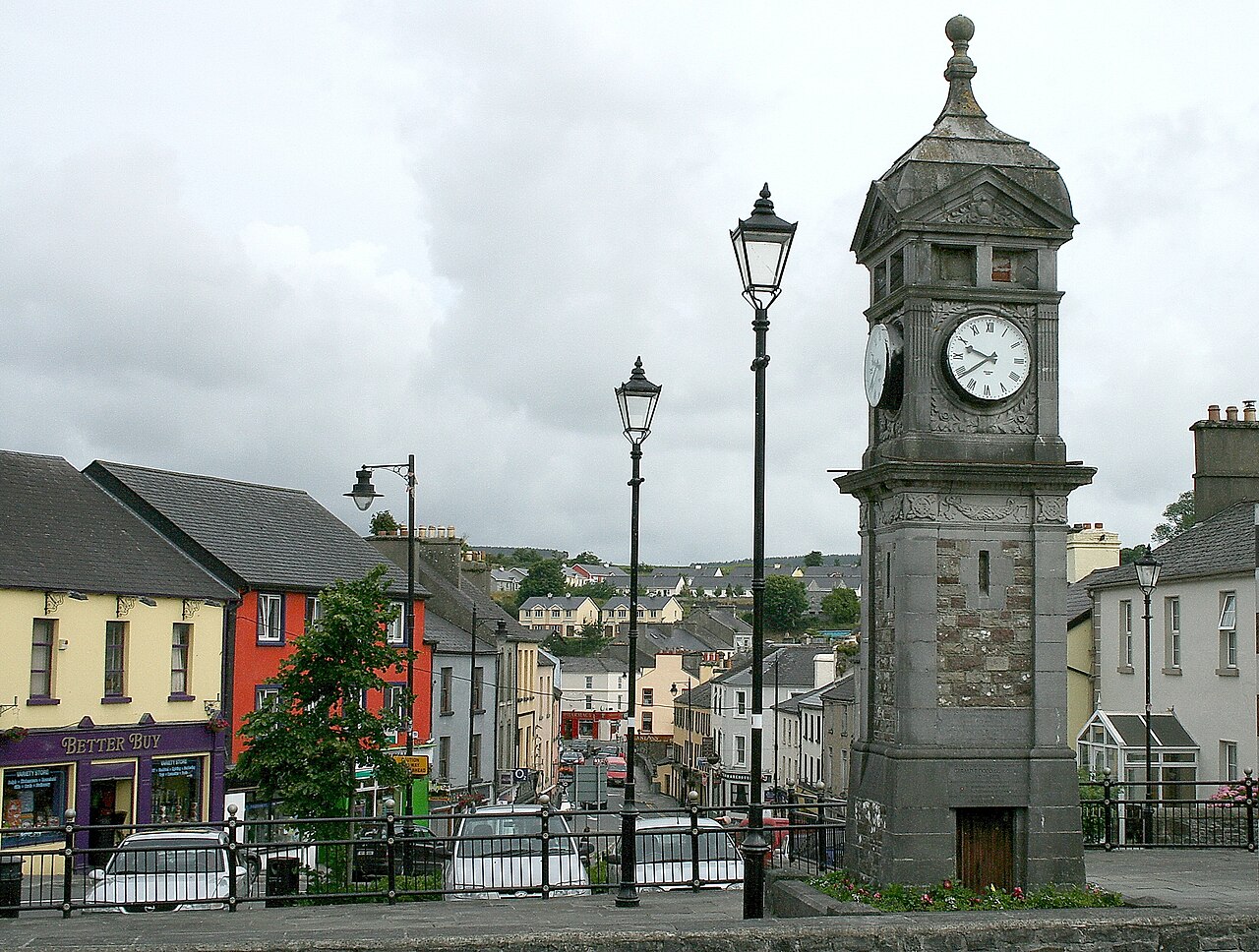 IndicatedCastle, motte and bailey · 881 yd
 Embanked enclosureFairy fort / earthen ringfort · 1417 yd
 Penitential station in EskerbaunPenitential station · 1457 yd
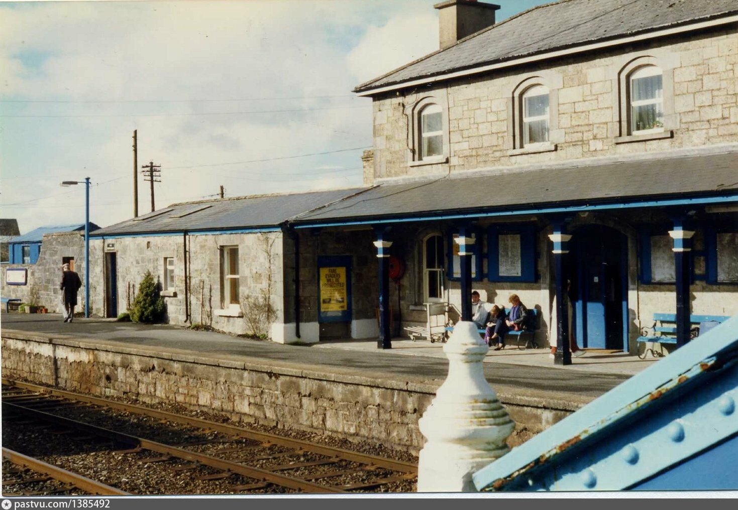 Penitential station in BrideswellPenitential station · 1458 yd
 Sweathouse in EskerbaunSweathouse · 1.1 mi
 Curraghboy CastleCastle, unclassified · 1.6 mi
 Bally BayBay · 3.4 mi
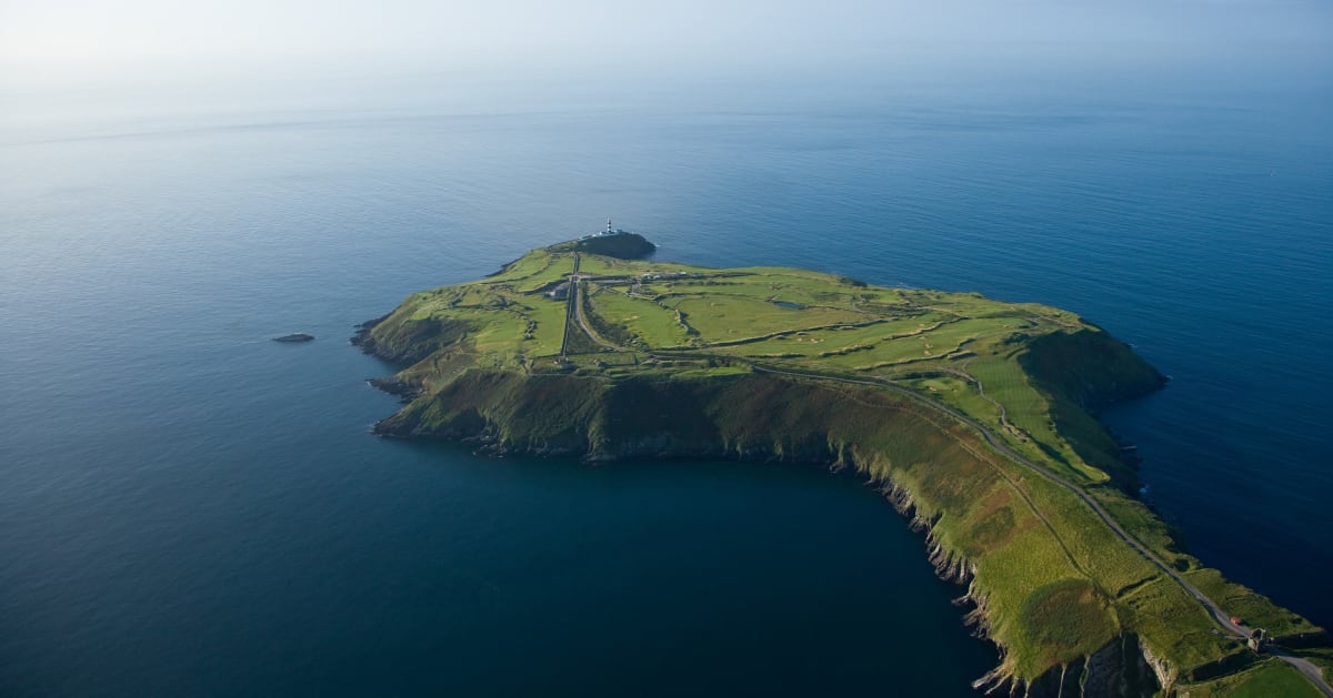 Sedgy IslandIslet · 3.5 mi
 Hodson's BayBay · 3.6 mi
 Long IslandIslet · 3.6 mi
 Sheep HillMountain / peak · 4.6 mi
 Siege of Athlonesiege · 5.2 mi