
What is recorded here
At the W edge of a low-lying basin and c. 110m N of St. Bridget's well (RO048-108001-) and immediately N of the 17th century house (RO048-188----). A cairn consisting of a kerb (ext. diam. 9m) of large stones (dims c. 0.8-1m x 0.3-0.5m; H up to 0.7m) NW-E-S surrounds a tree.
Compiled by: Michael Moore
Date of upload: 24 August 2010
A penitential station associated with early Christian pilgrimage practices, likely linked to the nearby St. Bridget's well; such sites were used for prayer and acts of penance along holy routes. The location suggests a connection to the broader network of saints' sites and pilgrimage paths in the region.
The monument record does not grant public access. Check the route and ask the landowner before entering private land.
- What survives
- Recorded monument
Places near here
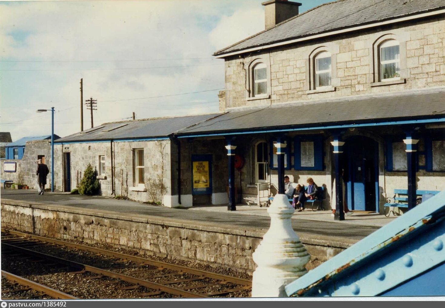 Penitential station in BrideswellPenitential station · 72 yd
 R. C. ChapelBuilding · 126 yd
 IndicatedFairy fort / earthen ringfort · 1076 yd
 Sweathouse in EskerbaunSweathouse · 1275 yd
 Curraghboy CastleCastle, unclassified · 1.4 mi
 CastlesampsonCastle, tower house · 2.0 mi
 Sheep HillMountain / peak · 3.8 mi
 InchihicleleyIslet · 3.9 mi
 Bally BayBay · 4.2 mi
 InchnagowerIslet · 4.2 mi
 Carnagh BayBay · 4.4 mi
 LismoneyForest · 9.2 mi
Other information
Photo: Credit not shown in the picture search · Rights wording not checked; contact us if this picture should be removed