What is recorded here
On a stream (Wth 1.2m) close to the NE end of Mannin Lough, in an overgrowth-covered area adjacent to a farmyard. Much of the adjoining land to E−NE is under forestry. A mill, named ‘Corn Mill’, is depicted as a rectangular building straddling the stream on the 1838 and 1917 OS 6-inch maps. A ‘Mill dam’ is shown…
Read the whole record
From the National Monuments Service (Archaeological Survey of Ireland) record MA092-102
Places near here
Photo credits
- National Inventory of Architectural Heritage
- Connacht GAA; photographer not stated, connachtgaa.ie
- Maker not stated on source page, tr.pinterest.com
- Maker not stated on source page, www.megalithicireland.com
- Maker not stated on source page, commons.wikimedia.org
- Maker not stated on source page, www.pinterest.com
- Maker not stated on source page, www.visitgalway.ie
- Steve & Jemma Copley on Flickr, Wikimedia Commons · CC BY-SA 2.0
- Yosemite, Wikimedia Commons · CC BY-SA 3.0
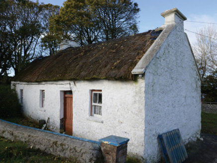 farm house1.1 mi
Explorer Tom Farm house in Lisbaun West, County Mayo would tell a teenager that the 1800s were basically just a long nap with better…
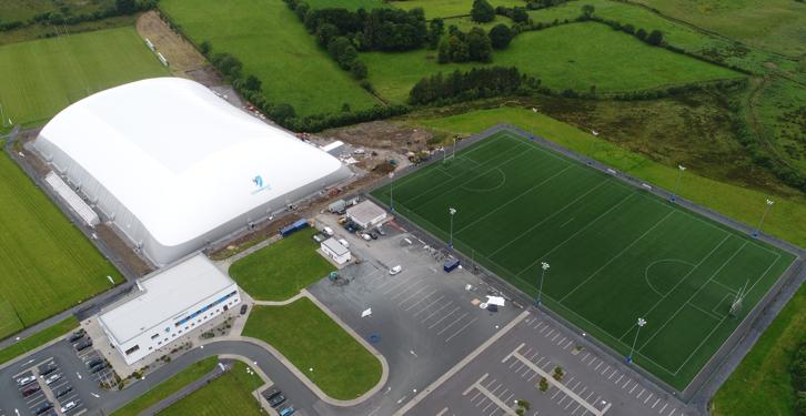 Connacht GAA Centre of ExcellenceGAA ground · 1.3 miConnacht GAA Air DomeGAA ground · 1.4 mi
 Anomalous stone group in CloonacurryAnomalous stone group · 1.5 mi
Explorer Tom Anomalous stone group in Cloonacurry is six rocks in a line, probably planning a heist. They look like they’re about to…
 Wedge tomb in Larganboy EastWedge tomb · 1.8 mi
Explorer Tom Wedge tomb in Larganboy East ended up here because the builders took a wrong turn at the pub. It’s wedged between hills…
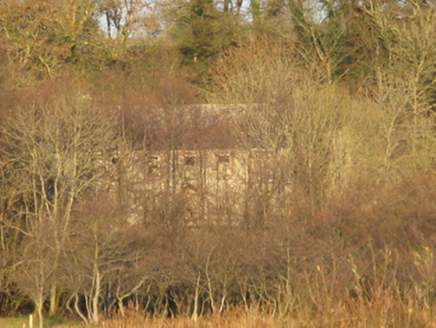 Mannin HouseFarm house · 2.0 mi
Explorer Tom Mannin House in Mannin is sitting next to a ruined castle and a dry lake, making it feel like the last one standing in…
 Graveyard in ChurchparkGraveyard · 3.9 mi
Explorer Tom Graveyard in Churchpark rates every visitor’s outfit from one to ten based on how muddy their boots get. It’s a strict…
 Graveyard in Townparks (2nd Division - Tuam)Graveyard · 19 mi
Explorer Tom Graveyard in Townparks (2nd Division - Tuam) is where the local sheep go to judge your life choices while chewing their…
 Cong Bridge HoleRecorded cave place · 24 mi
Explorer Tom Cong Bridge Hole in Cappacorcoge nearly got famous when a celebrity drove past without stopping, which was a massive…
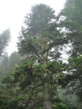 Silver Fir25 mi
Explorer Tom Silver Fir in County Galway is standing there acting like it invented the concept of looking mysterious. Apparently, if…
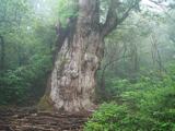 Japanese cedar25 mi
Explorer Tom Japanese cedar in County Galway is a tree that would tell its younger self to stop worrying about the wind. It’s tall…
 Oileán FhraoighIslet · 25 mi
Explorer Tom Oileán Fhraoigh’s New Year's resolution was to stop being so dramatic about the waves, but it failed immediately. It’s…
More historic places in County Mayo · All of County Mayo

What do you know about this place?Tap to add a comment or ask a question