What is recorded here
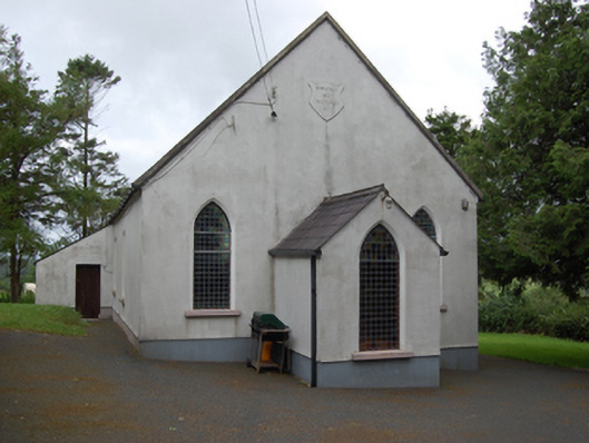
Freestanding single-cell Methodist church, built 1803, having three-bay nave with gable-fronted single-bay porch to the east gable end, and single-bay lean-to vestry to south elevation of nave. Pitched roof with raised cut limestone barges and sections of cast-iron rainwater goods. Smooth ruled-and-lined rendered walls over rubble stone construction with recessed rendered plinth. Raised shield plaque near apex of front gable with inscription 'ERECTED 1803 / RESTORED 1903'. Pointed arch window openings to gables and entrance porch with chamfered reveals and painted sills. Paired round-headed windows to nave with shared sills. Round-headed window to vestry. Multiple-pane stained-glass windows. Square-headed door openings to porch and vestry, both with replacement sheeted timber door. Interior having carved timber altar table, pulpit, and baptismal font. Set in own grounds approached by straight drive bordered by rubble stone walls with square-profile rubble stone piers and wrought-iron gates. Detached five-bay single-storey hip-roofed school, built c.1870, to site.
A simple early nineteenth century Methodist church of plain design and decoration, characteristic of Methodist churches. Originally having had a thatch roof, the building was restored in 1903. John Wesley (1703-91), the founder of Methodism, is reputed to have preached on the rocks surrounding the church. The buildings stands as a testament to the long history and social heritage of the Methodist tradition in the area. The adjacent school reinforces its role as a focal point in the surrounding rural area.
From the Buildings of Ireland (National Inventory of Architectural Heritage) record 40402408
This does not grant access. Most recorded buildings are privately owned; view them only from public ground unless the owner allows entry.
Places near here
Photo credits
- National Inventory of Architectural Heritage
- Sitomon, Wikimedia Commons · CC BY-SA 2.0
- Alvesgaspar, Wikimedia Commons · CC BY-SA 3.0
- NTF30, Wikimedia Commons · CC BY-SA 4.0
- Sarah777 at English Wikipedia, Wikimedia Commons · Public domain
CorlisbrattanMountain / peak · 1321 ydCorlisbrattanMountain / peak · 1553 yd mill (water)1.1 miDerrylane SchoolSchool · 1.7 miIndicatedEnclosure, large enclosure · 1.8 miEuropean Yew2.9 miBawn in CastlepolesBawn · 3.0 miCommon Lime3.0 miKing's GraveArchaeological place · 3.4 miCourt tomb in GartnanoulCourt tomb · 5.2 miKillykeen Forest ParkForest · 5.4 miLough OughterLake and island landscape · 5.4 mi
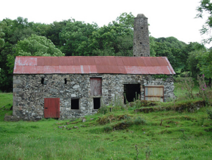 mill (water)1.1 mi
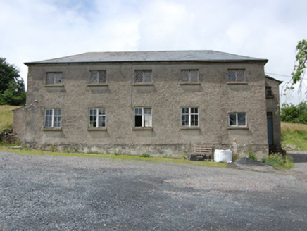 Derrylane SchoolSchool · 1.7 miIndicatedEnclosure, large enclosure · 1.8 mi
 European Yew2.9 miBawn in CastlepolesBawn · 3.0 mi
 Common Lime3.0 miKing's GraveArchaeological place · 3.4 mi
 Court tomb in GartnanoulCourt tomb · 5.2 mi
 Killykeen Forest ParkForest · 5.4 mi
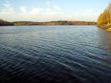 Lough OughterLake and island landscape · 5.4 mi
More historic places in County Cavan · All of County Cavan
What do you know about this place?