What is recorded here
Situated on a gentle E-facing slope. According to the Civil Survey (1654), in 1640 192 acres at Cookstown was owned by Sir Richard Barnwall of Crickstown (ME039-006----), and on the property was a stone house (Simington 1940, 68). A two storey building at Cookstown is represented on the county and barony maps of the Down Survey (1655-8). Francis Johnson's plans for Corbalton Hall at Cookstown dated 1803 (Irish Architectural Archive; Murray Collection, Pl. 27) record an older building on the site. This was a two storey, seven-bay front described as ’59 feet by 22 feet (c. 18m x c. 6.7m)’ with a large projecting stairwell at the rear. It was possibly early seventeenth century in date, but it was altered by Johnson who incorporated three vaulted chambers from it into Corbalton Hall, which was removed c. 1970.
Archaeological monitoring (01E0804) NW of Johnson’s house involved the removal of the brick vaults of stone-walled undercrofts from an eighteenth century building (Kehoe 2002). However, archaeological test trenching by E. Danaher (2001) under the same licence outside the eighteenth century structure confirmed (excavations.ie 2001:956) the presence of the earlier house either as structural walls, tiled and mortared floors or building rubble on a slightly different alignment.
See the attached representations on the Down Survey barony map (N at left), courtesy of the National Library of Ireland,
The above description is derived from the published 'Archaeological Inventory of County Meath' (Dublin: Stationery Office, 1987). In certain instances the entries have been revised and updated in the light of recent research.
Compiled by: Michael Moore
Date of upload: 10 July 2007
Amended: 14 April, 2022
The monument record does not grant public access. Check the route and ask the landowner before entering private land.
- What survives
- Recorded monument
Places near here
 IndicatedEnclosure, large enclosure · 537 yd
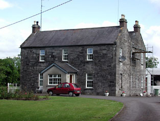 Oberstown Housefarm house · 1650 yd
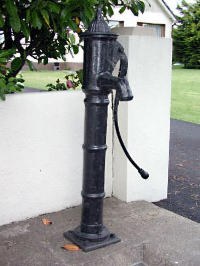 water pumpwater pump · 1.1 mi
 CrossCross, Wayside cross (present location) · 1.2 mi
 Candle HillMountain / peak · 1.5 mi
 CastleCastle, motte · 1.6 mi
 Macetown CastleCastle, tower house · 1.6 mi
 The Pond WoodWood · 2.5 mi
 Clusker Wood NorthWood · 2.5 mi
 Emerald ParkHeritage attraction · 3.3 mi
 Tara Open StudioGallery · 3.3 mi
 Battle of Tara Hillbattle · 3.4 mi