
What is recorded here
Concentric enclosure in Newtownstaballen (ferrard By; Beulieu Par.) stands on a broad hill overlooking the River Boyne, where nested ditches mark a place set aside before ordinary fields claimed the land. The smallest circle sits slightly off-centre inside larger curves, as if people kept returning to adjust the boundary rather than draw it once. A road now cuts through the outer rings, yet the hill still holds the shape of repeated choice, witness and belonging.
Situated on the summit of a broad hill that overlooks a W-E section of the River Boyne downriver from Drogheda. A gradiometer survey (23R0172) has identified a complex enclosure defined by three roughly concentric features that are likely to be fosses (Murphy 2023). The innermost enclosure (diam. c. 20m) which has a faint signal is off-centre within a subcircular enclosure (dims c. 45m N-S; c. 40m E-W), the perimeter of which at N cuts an oval enclosure (dims c. 20m N-S; c. 15m E-W), also with a faint signal. The subcircular enclosure is within a D-shaped area (dims c. 80m E-W; c. 65m N-S), the defining fosse of which originates and terminate at two points on the fosse of the subcircular enclosure at SW. This third enclosure is within a larger D-shaped area (dims c. 110m E-W; c. 90m N-S), the ditch of which arises from the fosse of the third enclosure at N and swings around to the E and SE before extending off to the W where it is probably morphing into a field system (ME024-094001-) with field drains extending from it to the S. Some lighter field drains are also attached to the inner subcircular enclosure making smaller plots (dims c. 30m x c. 20m). Some other field drains are attached to the largest enclosure at NE and SE but do not extend very far, and lighter, straighter N-S and E-W drain features further E are probably from an unmapped post-medieval system. The third and fourth enclosures are cut by a NNW-SSE service road to the Drogheda cement factory. (Murphy 2023)
See the attached grey-scale image from Murphy (2012, fig. 7)
Compiled by: Michael Moore
Date of upload; 4 May 2023
Murphy, D. 2023 Report on Geophysical Survey at Newtown Rd., Newtownstalaban, Co. Loth. Licence: 23R0172. Unpublished interim Report, ACSU
The monument record does not grant public access. Check the route and ask the landowner before entering private land.
- What survives
- Recorded monument
Places near here
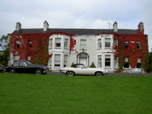 Newtown Househouse · 586 yd
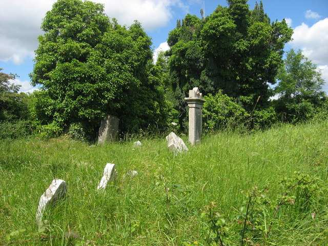 RuinsChurch · 763 yd
 Burial GroundChurch · 1165 yd
 Cord Burial ground, chapel (in ruins)Church · 1650 yd
 Beaulieu House and GardensHeritage attraction · 1.1 mi
 The ThoselMemorial · 1.4 mi
 Siege of Droghedasiege · 1.4 mi
 Millmount MuseumMuseum · 1.5 mi
 Site of Old CastleCastle, unclassified · 1.5 mi
 RuinCastle, tower house · 1.9 mi
 Newgrange Business ParkMemorial · 2.7 mi
 Yellow IslandIslet · 3.3 mi
Other information
Photo: Credit not shown in the picture search · Rights wording not checked; contact us if this picture should be removed