What is recorded here
On a steep SW-facing slope in undulating pasture. Stable yard has been built to W of monument. Enclosure visible, though overgrown with vegetation, on aerial photograph taken in 1974 (GSI S.623/2). It was levelled c. 1975-6 (Cahill 1982). There are low undulations where the monument stood but nothing definable. A ringfort (TS062-044----) is located immediately to the NE and another ringfort (TS062-043----) lies immediately beyond this. Monument is depicted on both 1st (1840) and 1903-04 ed. OS 6-inch map as a roughly circular enclosure (diam. c. 20-30m) defined by a bank, fosse, berm, scarp and outer fosse. It is described as a bivallate ringfort by Killanin and Duignan (1967, 280) but the apparent presence of a berm indicated on the OS 6-inch maps suggest that it may have been a concentric enclosure.
Compiled by: Jean Farrelly
Date of revised upload: 14 October 2014
This monument is subject to a preservation order made under the National Monuments Acts 1930 to 2014 (PO no. 9/1976).
The monument record does not grant public access. Check the route and ask the landowner before entering private land.
- What survives
- Recorded monument
Places near here
 EnclosureEnclosure, large enclosure · 596 yd
 LismortaghFairy fort / earthen ringfort · 619 yd
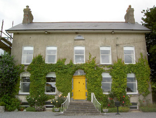 Lismortagh Househouse · 833 yd
 Church in ruins, Grave YardChurch · 1201 yd
 CastleCastle, unclassified · 1586 yd
 Mortlestown Castle RuinCastle · 1651 yd
 Eagle HillMountain / peak · 2.7 mi
 Kilknockan HillMountain / peak · 3.1 mi
 Noan WoodWood · 3.5 mi
 Taylor's WoodWood · 4.0 mi
 East GateMemorial · 4.3 mi
 Gobban Saer's GraveArchaeological place · 5.2 mi