What is recorded here
On the SE-edge of a hill top, in undulating terrain sloping gently to SE. Ground quite wet and overgrown with furze and scrub. Forest recently planted W and NW of outer enclosure. Panoramic view E, S and W, impeded upslope to N. Concentric enclosure. The inner enclosure (diam. NW-SE 34.3m) is clearly hachured on the OS 6-inch map. It is defined by a bank (Wth 2.1m crest, 4.7m base; int. H 0.86m; ext. H 1.87m) and an outer fosse (Wth 1.7m; D 1.2m). Only the N quadrant is relatively clear of brambles and scrub. No clear evidence of an entrance though this may be overgrown. In the S quadrant there is a gap (Wth 1.2m) in the bank and slight causeway over a widened fosse (Wth 4.2m), however, this appears to be later interference where a field boundary (running N-S) abutts the monument and curves around the E side. This later field boundary is earthen with drystone facing. The inner enclosure is surrounded by a wide flat area (Wth in NW quadrant 40m) enclosed by a low bank (Wth 1.5m crest, 3.5m base; int. H 0.43m; ext. H 0.82m) and shallow outer fosse (Wth 1.8m; D 0.55m). This bank is depicted on the OS 6-inch map as a continuous, slightly irregular circular field boundary enclosing the internal.
Compiled by: Jean Farrelly
Date of upload: 26 August 2011
The monument record does not grant public access. Check the route and ask the landowner before entering private land.
- What survives
- Recorded monument
Places near here
 Enclosure in CurraghtarsnaEnclosure · 1019 yd
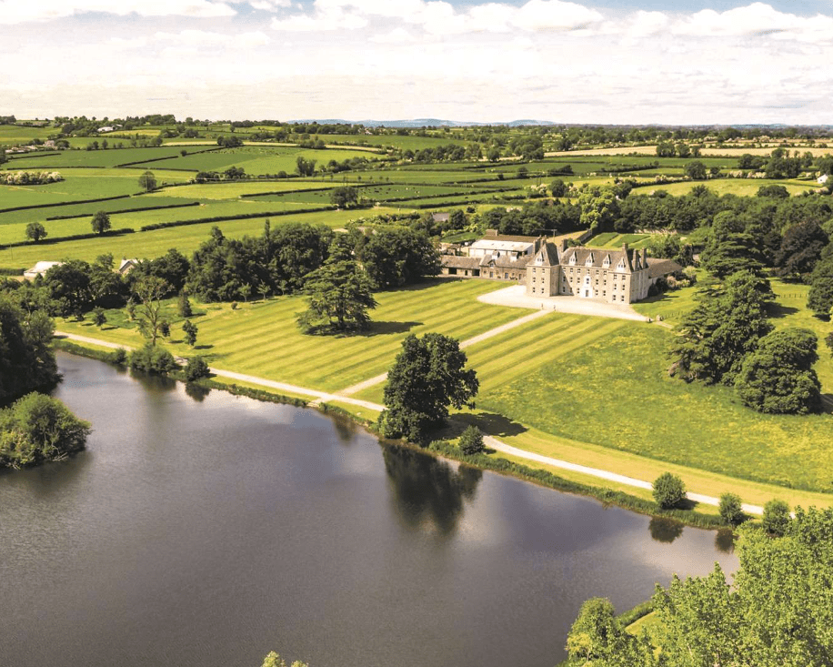 Enclosure in MagorbanEnclosure · 1192 yd
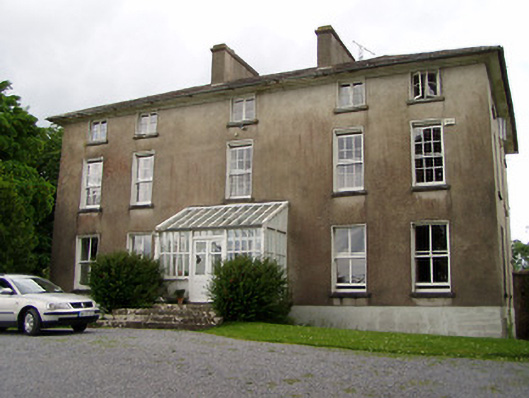 Silverfort Housecountry house · 1231 yd
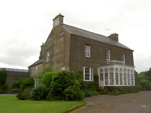 Beechmount Househouse · 1724 yd
 CastleCastle, ringwork · 1.1 mi
 The GarrisonCastle, tower house · 1.2 mi
 Taylor's WoodWood · 1.9 mi
 Ballyknock HillMountain / peak · 3.9 mi
 Cashel Folk MusuemMuseum · 4.7 mi
 Black mulberryBlack mulberry · 4.8 mi
 The Rock Of CashelVisitor information · 4.8 mi
 Cormac's ChapelHeritage attraction · 4.8 mi