What is recorded here
Not indicated on any OS map a large concentric enclosure is visible as a crop-mark on an aerial photo. A second enclosure (DU021-109----) is visible to the SW. DU021-108----_01.jpg Aerial image (derived from Bing Maps) showing the enclosures.
From the National Monuments Service (Archaeological Survey of Ireland) record DU021-108
The monument record does not grant public access. Check the route and ask the landowner before entering private land.
- What survives
- Recorded monument
Places near here
Photo credits
- National Inventory of Architectural Heritage
- jwd, Geograph · CC BY-SA 2.0
- JP, Geograph · CC BY-SA 2.0
- Sitomon, Wikimedia Commons · CC BY-SA 2.0
- Mike Searle, Geograph · CC BY-SA 2.0
Enclosure in BallybaneEnclosure · 323 yd Polly Hop'sHouse · 588 ydfarm house669 ydEnclosure in KilmactalwayEnclosure · 889 ydKilbride Castle (site of)Castle, unclassified · 1251 ydEarly Stadium DesignHeritage attraction · 1.4 miFairy WoodWood · 1.6 miCorkagh DemesneMemorial · 1.8 miGriffeen Valley WalkWalking route · 1.8 miGrand Canal WayWalking route · 1.9 miEuropean Yew2.5 miCastleCastle, tower house · 2.7 mi
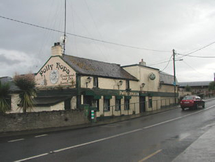 Polly Hop'sHouse · 588 yd
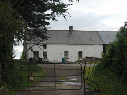 farm house669 ydEnclosure in KilmactalwayEnclosure · 889 ydKilbride Castle (site of)Castle, unclassified · 1251 ydEarly Stadium DesignHeritage attraction · 1.4 miFairy WoodWood · 1.6 miCorkagh DemesneMemorial · 1.8 mi
 Griffeen Valley WalkWalking route · 1.8 mi
 Grand Canal WayWalking route · 1.9 mi
 European Yew2.5 mi
 CastleCastle, tower house · 2.7 mi
More archaeology and monuments in County Dublin · All of County Dublin
What do you know about this place?