
Places near here
Photo credits
- National Inventory of Architectural Heritage
- dougf, Wikimedia Commons · CC BY-SA 2.0
- dougf, Geograph · CC BY-SA 2.0
- Own work, Wikimedia Commons · CC BY-SA 3.0
- N Chadwick, Geograph · CC BY-SA 2.0
- Gordon Hatton, Wikimedia Commons
- John Lucas, Geograph · CC BY-SA 2.0
- Jed Revans, Wikimedia Commons · CC BY-SA 4.0
- Colin Park, Geograph · CC BY-SA 2.0
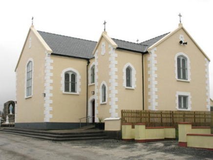 Saint Columkille's Catholic ChurchChurch/chapel · 2.6 mi
Explorer Tom Saint Columkille's Catholic Church in Gweesalia started because two lads bet on who could build it first. They probably…
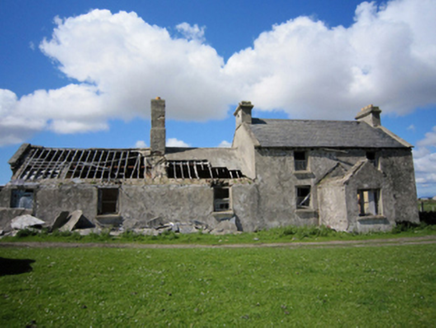 Croy LodgeHunting/fishing lodge · 2.7 mi
Explorer Tom Croy Lodge in Aughness would say 'I have vision' in a job interview and mean the ocean view. It’s a fishing lodge on a…
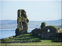
 Fahy or Doona Castle in ruinsCastle, tower house · 2.7 mi
Explorer Tom Fahy or Doona Castle in ruins is hosting a fiddler who never left his post. He’s been playing since the last ice age…
 HouseHouse, fortified house · 2.7 mi
Explorer Tom House in Fahy would be the awkward uncle at the wedding, standing by the cake with no idea what's happening. It just…
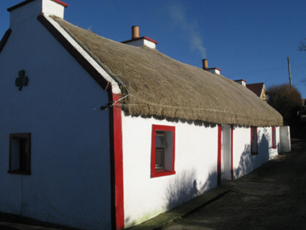 farm house3.8 mi
Explorer Tom Farm house in Knockmoyleen is built with local fieldstone and has a roof covered in Marram grass thatch that gets…
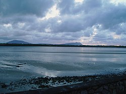 Cuan an Fhóid DuibhBay · 5.1 mi
Explorer Tom Blacksod Bay is wide enough to swallow one of my directions and still have room for the boat. It runs roughly sixteen…
 Golden StrandBeach / strand · 5.2 mi
Explorer Tom Golden Strand at Dugort sounds like the sort of place where pirates would bury a chest, then lose the map in a gust and…
 Wild Atlantic Way:Visitor information · 5.4 mi
Explorer Tom Another Wild Atlantic Way? Right, so this one would complain to the council that the clouds keep stealing its spotlight…
 Ballycroy, Ballycroy GAAGAA ground · 5.7 mi
 Doogort BeachBeach / strand · 6.0 mi
Explorer Tom Doogort Beach, on Achill Island's north shore, has a mountain at its back and Blacksod Bay in front, as if someone gave…
 Inis BigilIsland · 6.2 mi
Explorer Tom Inis Bigil sits between Achill and the Mayo mainland, close enough for me to promise an easy crossing and wise enough…
 Clare Island Signal TowerRuins · 20 mi
Explorer Tom Clare Island Signal Tower would spend its lotto win on buying a loud megaphone to announce its existence to passing…
More mountains and hills in County Mayo · All of County Mayo

What do you know about this place?Tap to add a comment or ask a question