What is recorded here
Clonyn House and its landscaped gardens are described in the terrier of the 1654-57 Down map of Castletown parish which recorded that the in ‘Clonyn there is the ruines of a fayre house with a fewe backroomes Wherein the Earle of West Meath dwells with a faire orchard and a garden with a grove of trees’ (NLI, MS…
Read the whole record
From the National Monuments Service (Archaeological Survey of Ireland) record WM013-014
Places near here
Photo credits
- Maker not stated on source page, www.pinterest.com
- Gavigan, Wikimedia Commons · CC BY-SA 3.0
- National Inventory of Architectural Heritage
- Maker not stated on source page, uk.pinterest.com
- Eric Jones, Wikimedia Commons · CC BY-SA 2.0
- Photographer not expressly credited for the aerial photo; Jayde G Forde wrote the article and is credited for a separate people photograph, www.westmeathexaminer.ie
- Maker not stated on source page, www.thinkbusiness.ie
- Maker not stated on source page, pixels.com
 CastleCastle, tower house · 1 yd
Explorer Tom Clonyn Castle has an opinion on the road that leads to it, mostly that it’s too narrow for its ego. It was once a fair…
 Clonyn CastleCastle/fortified house · 500 yd
Explorer Tom Clonyn Castle in Westmeath is having a full-on identity crisis, standing there looking all Victorian while secretly…
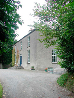 Laurel GroveHouse · 992 yd
Explorer Tom Laurel Grove had a bad poem written about it that rhymed 'grove' with 'loaf', which stung. It has a fanlight that looks…
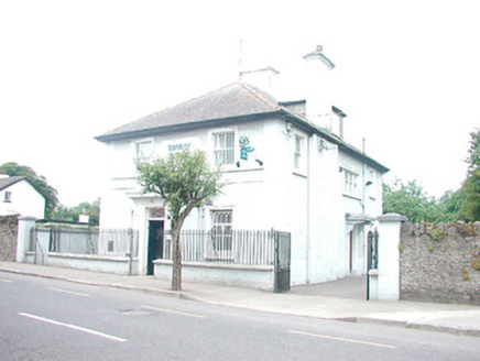 Bank of IrelandBank/financial institution · 993 yd
Explorer Tom Bank of Ireland in Clonyn has a local superstition that if you touch the pillar on your way out, you’ll find a euro in…
 St. Marys ChurchChurch · 998 yd
Explorer Tom St. Marys Church in Castletowndelvin has an escape plan of its first owner that never worked. It’s got a medieval tower…
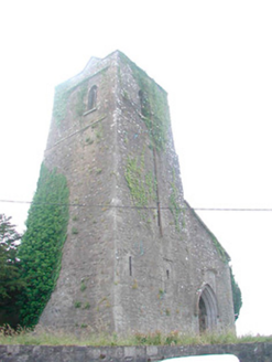 Saint Mary's Church (Castletowndelvin)Church/chapel · 1004 yd
Explorer Tom Saint Mary's Church in Castletowndelvin is three different eras stitched together like a patchwork quilt that nobody…
 Delvin CastleVisitor attraction · 1019 yd
Explorer Tom Delvin Castle has been locked in a bitter, centuries-long feud with the rain, and honestly, the castle is winning. The…
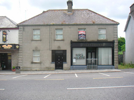 FitzsimonsHouse · 1060 yd
Explorer Tom Fitzsimons has strong opinions about the road leading to it, mostly that it’s too bumpy for its taste. It’s got this…
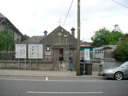 Delvin Market House and CourthouseCourt house, market house · 1070 yd
Explorer Tom Delvin Market House and Courthouse in Castletowndelvin is having a day. It was built for trials and trade, but I bet a…
 Delvin GAA pitchGAA ground · 1171 yd
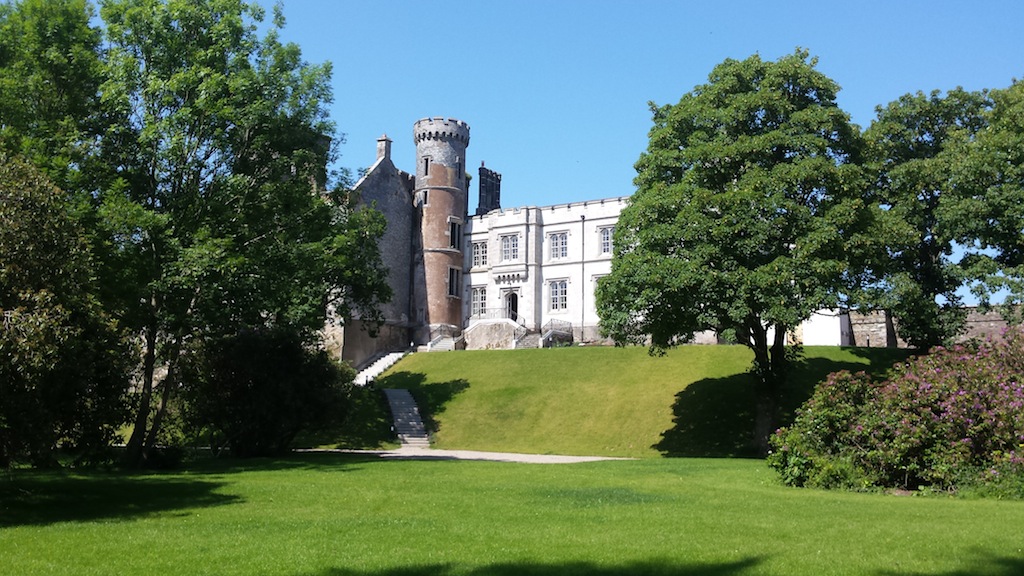 Billistown Castle in ruinsCastle, hall-house · 1458 yd
Explorer Tom Billistown Castle would give you two stars because you were too loud and didn’t appreciate its historic conversion from…
 Fairy fort / ringfort in Balrath North (delvin By.)Fairy fort / ringfort · 1.2 mi
Explorer Tom Fairy fort / ringfort in Balrath North was once home to a fiddler who played so well the stones started dancing, then…
More historic places in County Westmeath · All of County Westmeath

What do you know about this place?Tap to add a comment or ask a question