What is recorded here
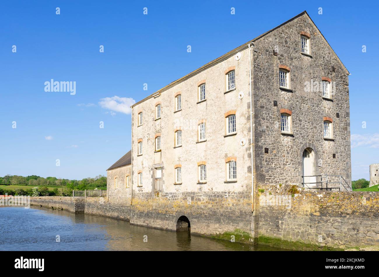
On gentle W-facing slope, to N of realigned main Limerick/Newcastlewest road. Mill has been demolished and area now used as car park to rear of Bed and Breakfast. A mill is depicted in approximately this position on the mid-17th century Down Survey map but its exact location is not known.
Compiled by: Denis Power
Date of upload: 26 August 2011
The monument record does not grant public access. Check the route and ask the landowner before entering private land.
- What survives
- Recorded monument
Places near here
 Enclosure in CroaghEnclosure · 310 yd
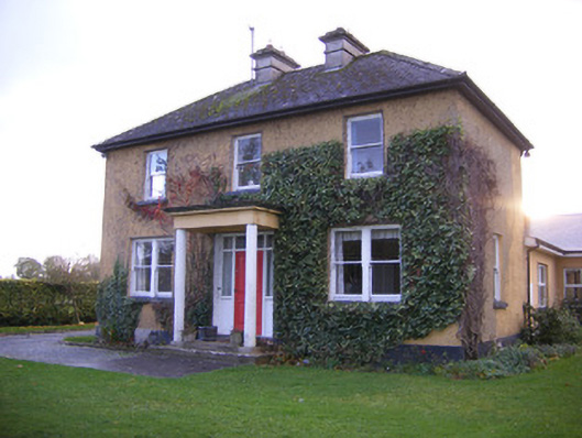 Castle Farm Househouse · 733 yd
 Clonshire CastleCastle · 788 yd
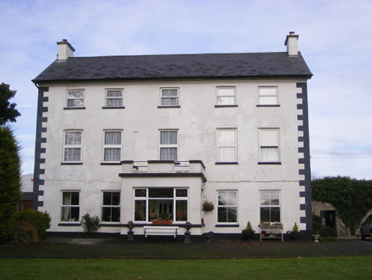 Smithfield Househouse · 909 yd
 ExcavationExcavation, miscellaneous · 1219 yd
 Garraunboy CastleCastle · 1410 yd
 Flat cemetery in CroaghFlat cemetery · 1.5 mi
 Flat cemetery in Kiltenan SouthFlat cemetery · 1.5 mi
 GinkgoGinkgo · 3.2 mi
 European YewEuropean Yew · 3.2 mi
 Desmond CastleHeritage attraction · 3.3 mi
 Adare Desmond CastleMedieval castle · 3.3 mi
Other information
Photo: Credit not shown in the picture search · Rights wording not checked; contact us if this picture should be removed