What is recorded here
Fairy fort in Ballycannon, County Limerick: a broken earthen ring in wet pasture, mapped complete in 1841, now split by a field boundary. The surviving southern arc still stands with its shallow ditch, while the northern half has vanished beneath grass and traffic. People may have lived inside, marked territory, or simply made a shape the land could remember.
In natural hollow, in low-lying pasture. Monument, depicted as embanked circular enclosure (diam. c. 30m) on 1841 OS 6-inch map, is now bisected by E-W field boundary. On S side of boundary is D-shaped area (20m N-S; 28m E-W) enclosed by earthen bank (int. H 0.8m; ext. H 1.7m) E->W, with external fosse (D 0.5m; Wth 2.1m) NE->NW. Bank is best preserved SE->SW, lowers to scarped edge (H 0.3m; Wth 1.9m) at WNW. Mainly waterlogged fosse becomes very shallow and dry at WNW. Level interior under pasture. No trace of monument evident on N side of boundary.
Compiled by: Denis Power
Date of upload: 26 August 2011
See attached ASI aerial photographs ASIAP – taken on 04/03/2006.
The monument record does not grant public access. Check the route and ask the landowner before entering private land.
- What survives
- Recorded monument
Places near here
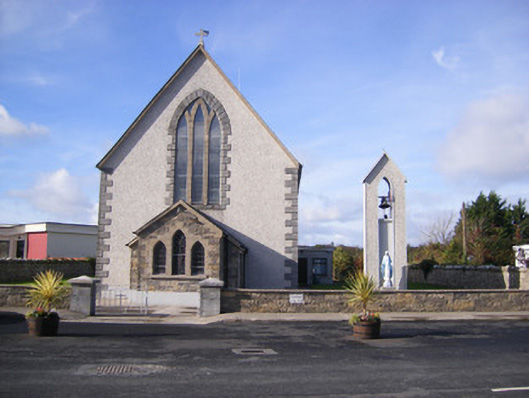 Catholic Church of Saint John the Baptistchurch/chapel · 305 yd
 Castle (in ruins)Castle, unclassified · 420 yd
 Grave YardGraveyard · 437 yd
 Church (in Rns)Church · 437 yd
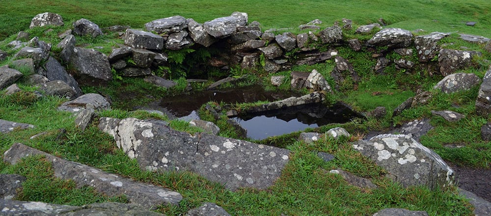 Fulacht fia in AdamswoodFulacht fia · 816 yd
 Flat cemetery in CroaghFlat cemetery · 1440 yd
 Bawn in Amogan MoreBawn · 1.0 mi
 Flat cemetery in Kiltenan SouthFlat cemetery · 2.0 mi
 Little HeavenHeritage attraction · 4.0 mi
 Kinnoor WellSpring · 4.4 mi
 TobernablahySpring · 4.4 mi
 Curraghchase Forest ParkForest · 4.5 mi