What is recorded here
On a rise on a gentle S-facing slope. Described as an upright stone (dims c. 0.75m x c. 0.3m; H c. 3m) known as 'Clogh-na-Stuakeen' or the stone of the little hill and as 'Clogh-Cam' or the crooked stone (D'Alton 1845, 86), but D'Alton was confusing the latter name with that of a stone at Knocknacorha (RO010-049----) c. 4.5km to the E. The stone at Tullyboy is no longer visible. Moylurg castle (RO010-010001-) is c. 140m to the W. Archaeological testing (06E1051) NW of the monument during 2006 produced no related material (Morahan 2010).
Compiled by: Michael Moore
Date of revised upload: 5 June 2015
Likely dating to the Neolithic or Bronze Age, the stone may have functioned as a territorial marker, ceremonial monument, or astronomical feature. Local names suggest associations with small hills and possibly early agricultural or ritual activity.
The monument record does not grant public access. Check the route and ask the landowner before entering private land.
- What survives
- Recorded monument
Places near here
 Moylung Castle (in ruins)Castle, unclassified · 161 yd
 R. C. ChapelChurch · 371 yd
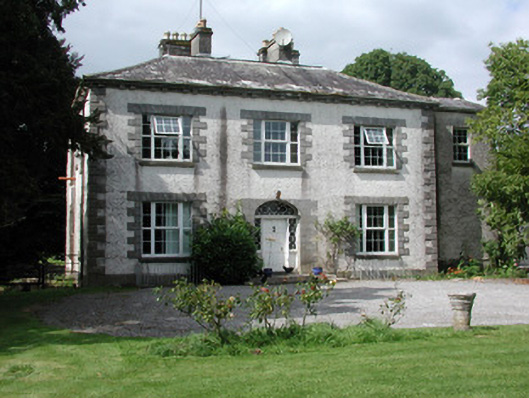 Moylurg Housecountry house · 563 yd
 ToberlonaunHoly well · 628 yd
 IndicatedGraveyard · 676 yd
 Lough Key Forest ParkWood · 2.9 mi
 Longford HillMountain / peak · 3.2 mi
 Horse-chestnutHorse-chestnut · 3.2 mi
 Western RedcedarWestern Redcedar · 3.3 mi
 Erris BayBay · 3.3 mi
 Castle (Site of)Castle, unclassified · 3.3 mi
 Boyle AbbeyHeritage attraction · 3.5 mi