What is recorded here
Cloghaleagaun stands beside a modern concrete wall in County Limerick, though no trace remained visible on the 1928 map. In 1840 it rose five feet high in a green field near Friarstown, but by 1916 it lay prostrate beside the old Boherliagan road. The stone may have fallen during that gap, joining the many forgotten markers whose names survive only in the memory of the land.
Roadside, adjacent to concrete-block wall. No visible surface trace of stone named 'Cloghleagaun' on 1928 OS 6-inch map. Described in 1840 as 'a stone called Cloch a Líagáin which measures five feet [1.5m] in height and three feet [0.9m] in diameter, stands erect in a green field in (near) the centre of the townland of Friarstown and a few yards to the west of Ahanvocky [Ahavackig], Aith an Bhacaigh' (OSL Caherelly Parish, 101). Recorded in 1916 as lying 'prostrate' beside an 'old road' (LI023-035----) called 'Boherliagan' (Lynch 1916-19, 11).
Compiled by: Denis Power
Revised by: Caimin O'Brien
Date of revised upload: 16 January 2019
The monument record does not grant public access. Check the route and ask the landowner before entering private land.
- What survives
- Recorded monument
Places near here
 BoherleagaunRoad, road/trackway · 367 yd
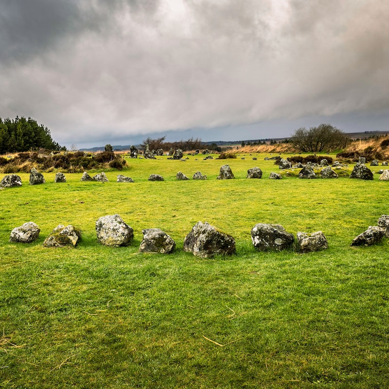 BarrowBarrow, ring-barrow · 890 yd
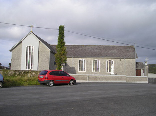 Saint Ailbe's Catholic Churchchurch/chapel · 1113 yd
 Ballybricken Court (in ruins)Castle, tower house · 1267 yd
 Enclosure in BallyblakeEnclosure · 1418 yd
 Banoge's WellSpring · 1.2 mi
 Rockstown Castle (in ruins)Castle, tower house · 1.2 mi
 Skool HillMountain / peak · 1.4 mi
 St Lawrence's WellSpring · 2.2 mi
 Grange Stone CircleArchaeological place · 3.4 mi
 Kilteely HillMountain / peak · 6.1 mi
 Graveyard in AbingtonGraveyard · 6.6 mi