What is recorded here
Within a forestry plantation, situated on the broad, flat, bog-covered crest of the E side of the Easky River valley. This monument was exposed and largely cleared of peat c. 1970. Subcircular cist (1.25m N-S; 0.9m E-W) defined by ten principal upright stones (H 0.4-0.75) set into the pre-bog soil, with a further stone set externally in the SE corner. All have their long axes aligned with the perimeter. Two stones inside the cist at NE do not sit well with the overall pattern of the wall but seem sufficently tightly set to be structural. The arrangement of the structural stones has a well defined E-W axis, most strikingly illustrated by the arrangment of three larger and higher stones at both the NW and SE corners.
Compiled by: Patrick F. O'Donovan
Date of upload: 19 January 2011
A subcircular cist, likely dating to the Early Christian or early medieval period. Its presence in a peat-bog environment suggests a possible funerary or ritual context, though specific significance remains unclear due to limited documentation.
The monument record does not grant public access. Check the route and ask the landowner before entering private land.
- What survives
- Recorded monument
Places near here
 Giant's GriddleArchaeological place · 775 yd
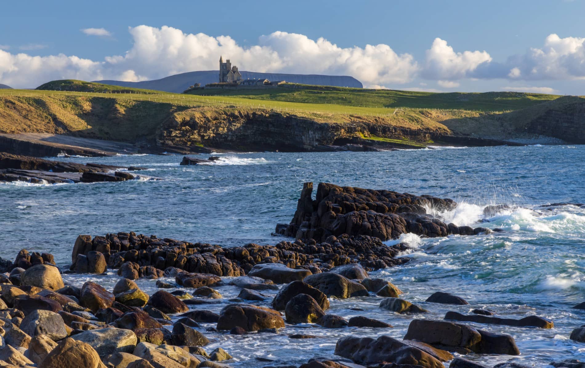 IndicatedEnclosure · 1.2 mi
 CastleCastle, unclassified · 2.1 mi
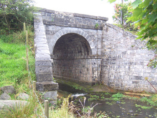 bridgebridge · 2.6 mi
 Camphill Househouse · 3.1 mi
 MeenamaddoMountain / peak · 3.9 mi
 Ballynahowna CastleCastle, tower house · 4.0 mi
 Sruffaungarve TopMountain / peak · 4.6 mi
 White RockNamed rock · 4.7 mi
 Split RockNamed rock · 5.6 mi
 Grave of the Black PigArchaeological place · 6.6 mi
 Jim Smith MemorialMemorial · 6.8 mi