
Places near here
Photo credits
- National Inventory of Architectural Heritage
- Picture: skelligrangersgaa.com
- Phil Champion, Geograph · CC BY-SA 2.0
- Paul Carroll, from his book Gaelic Fields / The Irish Times, www.irishtimes.com
- Marco Ober, Wikimedia Commons · CC BY-SA 4.0
- Martin Creek, Wikimedia Commons · CC BY-SA 2.0
- Philip Pötsch, Philipweb, Wikimedia Commons · CC BY 4.0
- Oliver Dixon, Geograph · CC BY-SA 2.0
- Fthierygeo, Wikimedia Commons · CC BY 4.0
- Bjørn Christian Tørrissen, Wikimedia Commons · CC BY-SA 3.0
- Wikimedia Commons contributor · CC BY-SA 3.0
- Frances Passey, Geograph · CC BY-SA 2.0
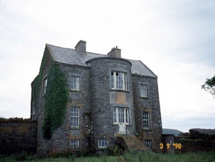 Belle VilleFarm house · 1514 yd
Explorer Tom Belle Ville has a family tree that’s mostly made up by people who wanted better stories. The full-height bow entrance…
 Skelligs Rangers GAA pitchGAA ground · 1.6 mi
 Skellig Experience CentreMuseum · 1.7 mi
Explorer Tom The Skellig Experience Centre stands on Valentia Island facing the sea, with Skellig Michael waiting beyond the water…
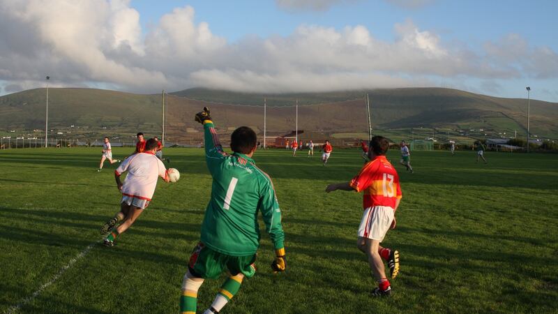 Valentia Young Islanders GAA pitchGAA ground · 1.9 mi
 Kerry CliffsHeritage attraction · 2.4 mi
Explorer Tom The Kerry Cliffs near Portmagee have a serious grudge against the weather for keeping them looking so perpetually wet…
 Bray Head Signal TowerRuins · 4.0 mi
Explorer Tom Bray Head Signal Tower is stuck in a feud with the family next door over who actually owns the best view of the…
 An Dún MórHeadland · 17 mi
Explorer Tom An Dún Mór is the headland where a matchmaker once worked and successfully paired off two clouds that are still…
 Dunmore HeadViewpoint · 17 mi
Explorer Tom Dunmore Head in County Kerry would tell a job interview it has excellent exposure to the Atlantic and zero patience for…
 Ogham stone in Com Dhíneol ThuaidhOgham stone · 17 mi
Explorer Tom Ogham stone in Com Dhíneol Thuaidh: If it were a person at a wedding, it would be the uncle who stands on the headland…
 Children's burial ground in An Blascaod MórChildren's burial ground · 17 mi
Explorer Tom Children's burial ground in An Blascaod Mór hosted a dramatic windstorm that blew a shepherd’s hat into the bay. The…
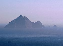 An TiarachtIslet · 19 mi
Explorer Tom An Tiaracht sits so far west that I would shout to America if the Atlantic ever quietened down. It is the westernmost…
 Inis TuaisceartMountain / peak · 20 mi
Explorer Tom Inis Tuaisceart in Kerry has hidden messages carved into its stones by ancient lovers who were too shy to speak them…
More archaeology and monuments in County Kerry · All of County Kerry

What do you know about this place?Tap to add a comment or ask a question