
What is recorded here
There is no visible trace of 'the ruins of a very ancient church' which were recorded here in 1756 (Smith, 183). The church appears to have stood in the burial ground KE051-002003- which occupies a small headland known as Rinn an Chaisleáin. The latter is also reputedly the site of a castle (KE051-002001-), and tooled masonry, uncovered in the past during excavation of a grave (Stagles 1980, 26), may be associated with either edifice.
The unconsecrated burial ground was used for the burial of unbaptised infants, shipwrecked sailors and suicides, and several grave-markers, consisting of low, upright stones, and drystone-built graves are still visible in the interior.
The above description is derived from J. Cuppage, ‘Corca Dhuibhne. Dingle Peninsula archaeological survey. Ballyferriter. Oidhreacht Chorca Dhuibhne’ (1986), no. 976. In certain instances the entries have been revised and updated in the light of recent research.
Date of upload: 7 August 2013
This remains an important historical record, but the official description says the monument is no longer visible or has been destroyed. The monument record does not grant public access. Check the route and ask the landowner before entering private land.
- What survives
- No visible remains or recorded as destroyed
Places near here
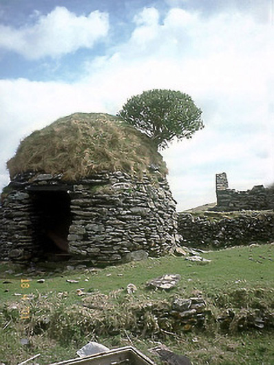 An Púicín Buíoutbuilding · 45 yd
 Old TownRuins · 57 yd
 TobernacrushaHoly well · 217 yd
 Oileán na nÓgIslet · 1.0 mi
 An Dún MórHeadland · 1.4 mi
 Dunmore HeadViewpoint · 1.4 mi
 Cliff-edge fort in An Blascaod MórCliff-edge fort · 1.5 mi
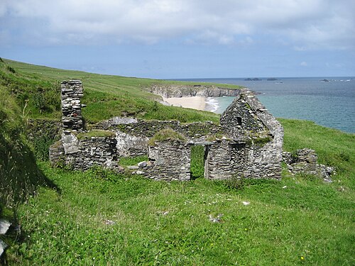 An Blascaod MórIsland · 1.7 mi
 Mionnán an DúnaHeadland · 1.7 mi
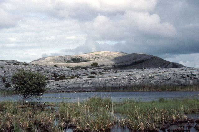 An Mullach RamharMountain / peak · 1.7 mi
 Traigh an ChomaBeach / strand · 2.0 mi
 An Cró MórMountain / peak · 2.4 mi
Other information
Photo: Bjørn Christian Tørrissen · CC BY-SA 3.0