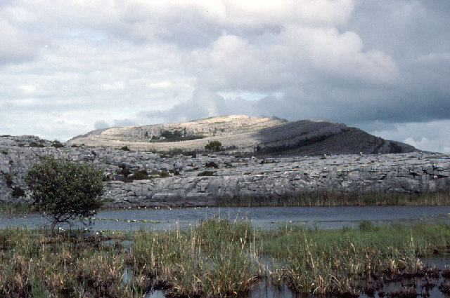
What is recorded here
An Mullach Ramhar reaches an elevation of approximately 550 meters and is part of the broader MacGillycuddy's Reeks range, one of Ireland's most prominent mountain systems. The name, meaning "the crooked ridge" in Gaelic, likely refers to its distinctive, irregular summit line. It holds significance as a lesser-known but notable peak in Kerry's rugged landscape, valued by local hikers and geologists for its position within the ancient igneous rock formations of the region.
Places near here
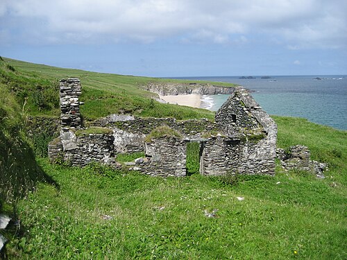 An Blascaod MórIsland · 128 yd
 Cliff-edge fort in An Blascaod MórCliff-edge fort · 396 yd
 An Cró MórMountain / peak · 1296 yd
 Megalithic structure in An Blascaod MórMegalithic structure · 1655 yd
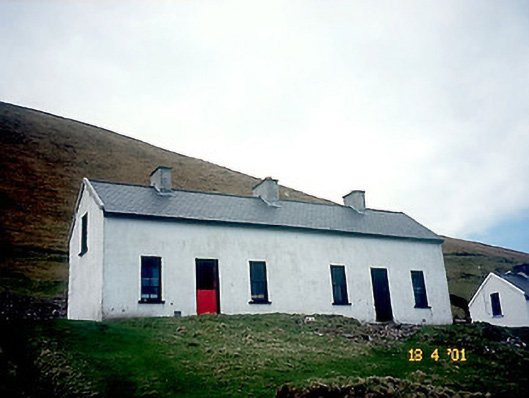 Tigh Peig Sayers [Peig Sayers's House]house · 1.6 mi
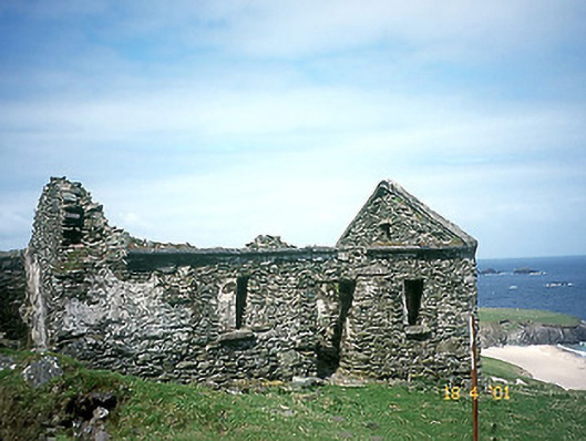 Tigh Muirs Ó Suilleabháin [Maurice O'Sullivan's House]house · 1.6 mi
 Oileán na nÓgIslet · 2.5 mi
 An Dún MórHeadland · 3.0 mi
 Dunmore HeadViewpoint · 3.0 mi
 Inis TuaisceartIsland · 3.1 mi
 Mionnán an DúnaHeadland · 3.3 mi
 Traigh an ChomaBeach / strand · 3.6 mi
Other information
Photo: Credit not shown in the picture search · Rights wording not checked; contact us if this picture should be removed