
What is recorded here
From the National Monuments Service (Archaeological Survey of Ireland) record KE052-059002
The monument record does not grant public access. Check the route and ask the landowner before entering private land.
- What survives
- Recorded monument
Places near here
 Dunmore HeadViewpoint · 528 yd
 An Dún MórHeadland · 537 yd
 Traigh an ChomaBeach / strand · 684 yd
 Ceann SléibheHeadland · 1.1 mi
 Binn an ChomaMountain / peak · 1.3 mi
 Ionad an Bhlascaoid MhóirMuseum · 1.6 mi
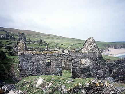 school1.6 mi
 Children's burial ground in An Blascaod MórChildren's burial ground · 1.7 mi
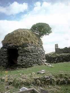 An Púicín BuíOutbuilding · 1.7 mi
 Sliabh an IolairMountain / peak · 1.8 mi
 Dunbeg FortHeritage attraction · 2.8 mi
 DunbegPromontory fort, coastal · 2.8 mi
Pictures: Oliver Dixon, Geograph · CC BY-SA 2.0; Philip Pötsch, Philipweb, Wikimedia Commons · CC BY 4.0; David Purchase, Geograph · CC BY-SA 2.0; Gerd Eichmann, Wikimedia Commons · CC BY-SA 4.0; Anne Patterson, Geograph · CC BY-SA 2.0; Humphrey Bolton, Geograph · CC BY-SA 2.0; National Inventory of Architectural Heritage; Bjørn Christian Tørrissen, Wikimedia Commons · CC BY-SA 3.0; Pam Brophy, Wikimedia Commons · CC BY-SA 2.0; Humphrey Bolton, Wikimedia Commons · CC BY-SA 2.0
More archaeology and monuments in County Kerry · All of County Kerry
What do you know about this place?