What is recorded here
In pasture 80m NW of the Augustinian nunnery of Monasternagalliaghduff (LI019-026009-) and 15m NE of a burial ground (LI019-026007-), in the formal grounds of the Old Abbey House. Not depicted on any OS maps, it was identified as Site F on a plan drawn by T. J. Westropp (Wardell 1904, 52) where he describes the site as following; ‘in the early “fifties” my uncles uncovered a stone cist containing a clay dish and a skeleton in a crouching position’. No surface trace visible on Google Earth Orthoimage taken 08/04/2015.
See attached location map showing cist labelled F and Google Earth orthoimages
Compiled by: Martin Fitzpatrick
Date of upload: 13 July 2020
Cist in Oldabbey is a small stone burial chamber, likely dating to the Early Christian period, associated with a nearby Augustinian nunnery. Its proximity to a burial ground suggests a religious or monastic funerary context.
The monument record does not grant public access. Check the route and ask the landowner before entering private land.
- What survives
- Recorded monument
Places near here
 Burial ground in OldabbeyBurial ground · 20 yd
 MonasternagalliaghduffReligious house, Augustinian nuns · 83 yd
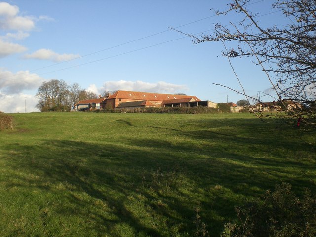 Settlement desertedSettlement deserted, medieval · 220 yd
 Movena Housecountry house · 664 yd
 CastleCastle, unclassified · 1350 yd
 Site of CastleCastle, unclassified · 1664 yd
 Foynes Flying Boat & Maritime MuseumMuseum · 3.3 mi
 Foynes Island ViewpointViewpoint · 3.5 mi
 Gammarel PointHeadland · 3.6 mi
 Holly IslandIslet · 3.9 mi
 Foynes IslandIsland · 4.0 mi
 Askeaton CastleHeritage attraction · 4.2 mi