What is recorded here
Depicted on the 1843 ed. OS 6-inch map as a small circular mound (TN007-018001). According to local information (NMI 1934) the mound was believed to contain a cave. This tradition of a cave may be a reference to a cist. Not visible at ground level.
The above description is derived from 'The Archaeological Inventory of County Tipperary. Vol. 1 - North Tipperary' compiled by Jean Farrelly and Caimin O'Brien (Dublin: Stationery Office, 2002). In certain instances the entries have been revised and updated in the light of recent research.
Date of upload/revision: 22 September 2008
Cist in Lisheenboy is a small prehistoric stone burial cist, likely dating to the Neolithic or early Bronze Age. Its significance lies in its potential to provide insights into early burial practices and local traditions in an otherwise poorly documented region.
The monument record does not grant public access. Check the route and ask the landowner before entering private land.
- What survives
- Recorded monument
Places near here
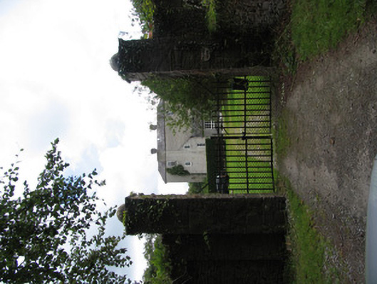 Milford Housecountry house · 685 yd
 Enclosure in CloonawillinEnclosure · 1292 yd
 Derrinvohil Househouse · 1400 yd
 LisheenEnclosure · 1701 yd
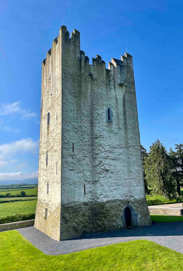 Kilfadda Castle (in ruins)Castle, Anglo-Norman masonry castle · 1.4 mi
 Ballyhaugh Castle (in ruins)Castle, tower house · 2.0 mi
 Borris WoodWood · 2.0 mi
 Slevoir BayBay · 3.2 mi
 Roger's IslandIslet · 4.4 mi
 Hayes IslandIsland · 4.5 mi
 Black mulberryBlack mulberry · 4.9 mi
 Portumna Castlegate lodge · 5.2 mi