What is recorded here
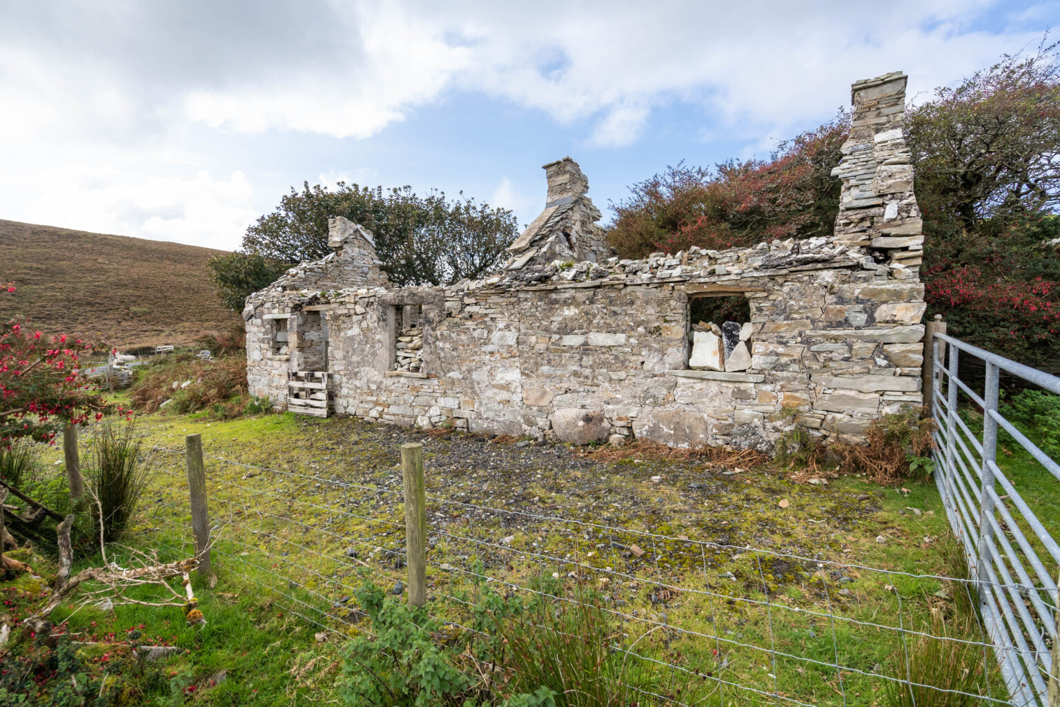
This record refers to a cist which was located on a sandhill near Dunfanaghy. It consisted of a conical mound topped with rough stones, and was, according to local tradition, the burial site of a giantess. It was investigated in 1897 by Archdeacon Baillie and his son Captain Baillie. Having dug into the mound, they…
Read the whole record
From the National Monuments Service (Archaeological Survey of Ireland) record DG015-002
Places near here
Photo credits
- Maker not stated on source page, commons.wikimedia.org
- N Chadwick, Wikimedia Commons · CC BY-SA 2.0
- National Inventory of Architectural Heritage
- N Chadwick, Geograph · CC BY-SA 2.0
- Chris Gunns, Geograph · CC BY-SA 2.0
- Maker not stated on source page, www.alamy.com
- Colin Park, Wikimedia Commons · CC BY-SA 2.0
- David Baird, Wikimedia Commons · CC BY-SA 2.0
- Colin Park, Wikimedia Commons
- Rossographer, Wikimedia Commons (Geograph)
- Ross, Wikimedia Commons · CC BY-SA 2.0
 Burial ground in LargatreanyBurial ground · 1 yd
Explorer Tom Burial ground in Largatreany was suggested by a report of human skulls found in the area. The account says the…
 Cairn, Coastguard HillPublicly named cairn · 320 yd
Explorer Tom Cairn, Coastguard Hill is a place where the name itself tells you it’s on a hill with a view of the sea. I imagine…
 Horn Head Lookout PostWatch tower, signal tower · 328 yd
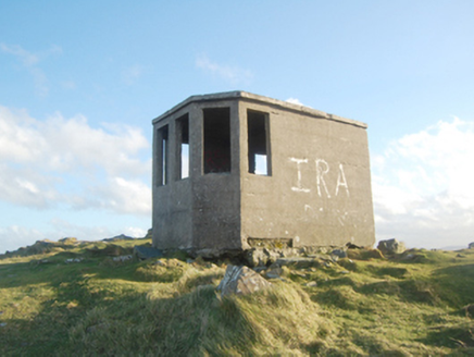
Explorer Tom Horn Head Lookout Post was built by the Irish Army during World War Two to watch for submarines. It’s just a small hut…
 Coastguard HillMountain / peak · 330 yd
Explorer Tom Coastguard Hill in County Donegal is technically run by a very aggressive terrier who thinks he’s the head of security…
 CrocksheeMountain / peak · 598 yd
Explorer Tom Crockshee sits in County Donegal, and the map record is as bare-bones as a mountain can be. The picture caption notes…
 Horn Head Signal TowerRuins · 1174 yd
Explorer Tom Horn Head Signal Tower sits out on a Donegal headland that seems to have been designed by a storyteller who thought…
 Eire 77 signSecond World War neutrality sign · 1340 yd
Explorer Tom Eire sign number 77 at Horn Head is barely visible now, mostly because it spent eighty years arguing with an imaginary…
 Cliffs at Traghlisk PointPublicly named cliff or headland · 1392 yd
Explorer Tom Cliffs at Traghlisk Point are in a lifelong feud with the rain because it keeps trying to wash away their sense of…
 Horn HeadCoast · 1483 yd
Explorer Tom Horn Head does not need a loud introduction: the cliffs north of Dunfanaghy do that job as soon as the road turns…
 Trá Phoill a GhuillBeach / strand · 1.8 mi
Explorer Tom Trá Phoill a Ghuill is a little beach at Pollaguill Bay on Horn Head, and its quiet size makes the surrounding land…
 Lurgabrack Nature WalkOfficial walking route · 1.9 mi
Explorer Tom Lurgabrack Nature Walk has an astonishing Donegal cast: woodland, dunes, Tramore Beach and distant mountains, all…
 KillahoeyOfficial bathing water · 2.1 mi
Explorer Tom Killahoey Beach gives Dunfanaghy a splendid front garden, if your idea of gardening involves a great sheet of sand and…
More archaeology and monuments in County Donegal · All of County Donegal

What do you know about this place?Tap to add a comment or ask a question