What is recorded here
Situated on a gentle S-facing slope close to the headwaters of a small NW-SE stream, and in a slight col between Ballydonigan Hill c. 700m to the SW and a slight hill c. 600m to the NE. A polygonal cist formed of eight side-stones and covered by a single slab (dims. c 1.2m x c. 1.05m; max. T 12cm) was discovered in ploughing in April 1967. It had a single slab (dims 0.7m x 0.6m; T 8cm) on the floor and was filled with clay and cremated bone. Two upright food vessels were recovered on the floor. (Raftery 1968; Culleton 1984, 36; Waddell 1990, 157)
The above description is derived from the published 'Archaeological Inventory of County Wexford' (Dublin: Stationery Office, 1996). In certain instances the entries have been revised and updated in the light of recent research.
Compiled by: Michael Moore
Date of upload/revision: 31 May, 2012
The monument record does not grant public access. Check the route and ask the landowner before entering private land.
- What survives
- Recorded monument
Places near here
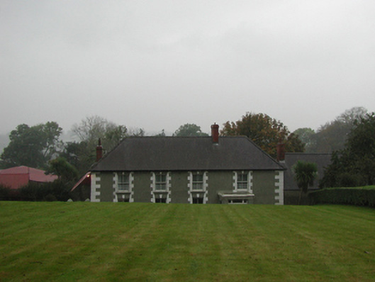 farm housefarm house · 1035 yd
 Not idicatedFairy fort / earthen ringfort · 1263 yd
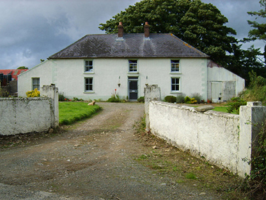 Garryduff Villafarm house · 1516 yd
 Fulacht fia in KnockavockaFulacht fia · 1708 yd
 Father Murphy CentreHeritage attraction · 1.9 mi
 The CoilWood · 2.5 mi
 The GroveWood · 2.5 mi
 U.N. Peace MemorialMonument · 5.7 mi
 Battle of Vinegar HillMajor battlefield · 5.8 mi
 Duffry GateMemorial · 5.8 mi
 National 1798 CentreMuseum · 6.0 mi
 Fulacht fia in CarrigeenFulacht fia · 1724 yd