
What is recorded here
Identified in centre-line testing (E4110) in advance of the M11 Gorey to Enniscorthy road scheme and set aside for resolution as Carrigeen 1 (Hardy et al. 2010, 62). It is situated on a slight SW-facing slope with a small E-W stream immediately to the S. It was excavated (E4256) by M. McNamara who uncovered an upper layer of burnt stone material (dims 9.12m x 6.65m; max. T 0.35m) and a lower deposit (dims 13.25m x 9.98m; max. T 0.33m) that overlay a subcircular trough (dims 3m x 2.1m) with a stepped base (D 0.35-0.78m). There were 12 stake-holes in the sides of the trough, largely on the S side where a palaeochannel was sampled parallel with the existing stream. Four stake-holes just N of the trough may represent a wind-break. Six pits (dims 0.5m x 0.35m; D 0.14m to 2.1m x 1.65m; D 0.35m) were excavated outside the extent of the burnt mound. A sample from the upper fill of the trough produced a C14 date of Cal. BC 1188-976. The fulacht fia (WX015-075----) is c. 235m to the WSW in Knockavocka townland. (McNamara 2012; 2013)
Compiled by: Michael Moore
Date of upload: 26 November, 2013
The monument record does not grant public access. Check the route and ask the landowner before entering private land.
- What survives
- Recorded monument
Places near here
 Fulacht fia in KnockavockaFulacht fia · 256 yd
 Fulacht fia in Ballycarrigeen LowerFulacht fia · 1030 yd
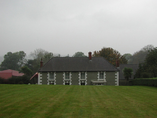 farm housefarm house · 1.0 mi
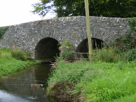 Tinnacross Bridgebridge · 1.3 mi
 The GroveWood · 2.1 mi
 Ferns Castle (in ruins)Castle, Anglo-Norman masonry castle · 2.5 mi
 U.N. Peace MemorialMonument · 6.2 mi
 Battle of Vinegar HillMajor battlefield · 6.3 mi
 Duffry GateMemorial · 6.3 mi
 National 1798 CentreMuseum · 6.5 mi
 European LarchEuropean Larch · 6.9 mi
 Daphney CastleCastle, unclassified · 7.4 mi
Other information
Photo: Credit not shown in the picture search · Rights wording not checked; contact us if this picture should be removed